
-
Federal
Sounder SIPS: Suomi NPP CrIMSS Level 3 Specific Quality Control Gridded Daily CLIMCAPS Full Spectral Resolution V2 at GES DISC
National Aeronautics and Space Administration —
WARNING: To users of the derived product “co_mmr_midtrop” (carbon monoxide mass mixing ratio to dry air [kg/kg] at ~500 hPa). This variable has a significant bias due... -
Federal
West Africa Coastal Vulnerability Mapping: Population Projections, 2030 and 2050
National Aeronautics and Space Administration —
The West Africa Coastal Vulnerability Mapping: Population Projections, 2030 and 2050 data set is based on an unreleased working version of the Gridded Population of... -
Federal
Geologic Provinces of the Former Soviet Union, 2000 (prv1ec)
Department of the Interior —
These data represent geologic and petroleum provinces interpreted and designated by the authors and based on numerous literature and map resources. Geologic province... -
Federal
Slab2 - A Comprehensive Subduction Zone Geometry Model, Hellenic Arc Region
Department of the Interior —
Subduction zones are home to the most seismically active faults on the planet. The shallow megathrust interface of subduction zones host our largest earthquakes, and... -
Federal
AERONET-SDA Retrievals
National Aeronautics and Space Administration —
The SDA dataset uses the spectral behavior of AOD to partition between fine and coarse modes, without a size-cutoff radius of the type used by the Dubovik and King... -
Federal
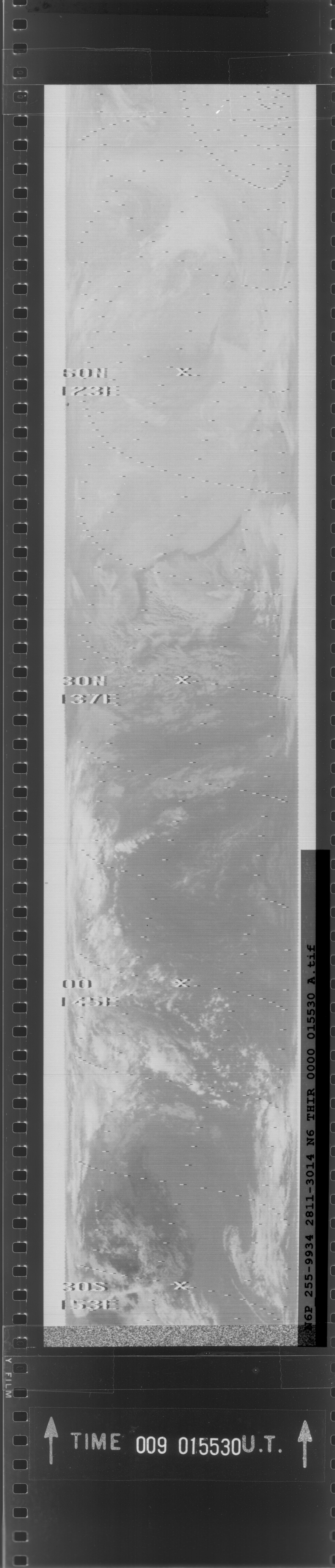
THIR/Nimbus-5 Level 1 Meteorological Radiation Data at 11.5 microns V001 (THIRN5L1CH115) at GES DISC
National Aeronautics and Space Administration —
THIRN5L1CH115 is the Nimbus-5 Temperature-Humidity Infrared Radiometer (THIR) Level 1 Meteorological Radiation Data at 11.5 microns product and contains radiances... -
Federal
Active layer and permafrost properties, including snow depth, soil temperature, and soil moisture, Barrow, Alaska, Version 1
National Aeronautics and Space Administration —
This data set contains soil temperature, soil moisture, thaw depth, and snow depth data collected at test sites near Barrow, Alaska, during the following years. Soil... -
Federal
IceBridge MCoRDS L1B Geolocated Radar Echo Strength Profiles V002
National Aeronautics and Space Administration —
This data set contains radar echograms taken from the Center for Remote Sensing of Ice Sheets (CReSIS) ultra Multichannel Coherent Radar Depth Sounder (MCoRDS) over... -
Federal
SatCORPS CERES GEO Edition 4 GOES-13 Southern Hemisphere Version 1.0
National Aeronautics and Space Administration —
CER_GEO_Ed4_GOE13_SH_V01 is the Satellite Cloud and Radiation Property retrieval System (SatCORPS) Clouds and the Earth's Radiant Energy System (CERES) Geostationary... -
Federal
Surface Geology of Bangladesh (geo8bg)
Department of the Interior —
This coverage includes arcs, polygons, and polygon labels that describe the geologic age and type of surface outcrops of bedrock of the Bangladesh. It also includes... -
Federal
SENTINEL-1A_SINGLE_POL_GRD_MEDIUM_RES
National Aeronautics and Space Administration —
Sentinel-1A Single-pol ground projected medium resolution images -
Federal
SMAP L3 Radar Global Daily 3 km EASE-Grid Soil Moisture V003
National Aeronautics and Space Administration —
This Level-3 (L3) soil moisture product provides a composite of daily estimates of global land surface conditions retrieved by the Soil Moisture Active Passive (SMAP)... -
Federal
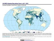
Gridded Population of the World, Version 4 (GPWv4): Population Count Adjusted to Match 2015 Revision of UN WPP Country Totals, Revision 11
National Aeronautics and Space Administration —
The Gridded Population of the World, Version 4 (GPWv4): Population Count Adjusted to Match 2015 Revision of UN WPP Country Totals, Revision 11 consists of estimates... -
Federal
National Assessment of Oil and Gas Project - Wyoming Thrust Belt Province (036) Assessment Units
Department of the Interior —
The Assessment Unit is the fundamental unit used in the National Assessment Project for the assessment of undiscovered oil and gas resources. The Assessment Unit is... -
Federal
GLAS/ICESat L1B Global Elevation Data (HDF5) V034
National Aeronautics and Space Administration —
GLAH06 Level-1B Global Elevation is a product that is analogous to the geodetic data records distributed for radar altimetry missions. It contains elevations... -
Federal
SWOT Level 1B High-Rate Single-look Complex Data Product, Version 2.0
National Aeronautics and Space Administration —
High rate data processed to single-look complex SAR images for each antenna. Gridded tile (approx 64x64 km2); half swath (left or right side of full swath). Available... -
Federal
Trends in Global Freshwater Availability from the Gravity Recovery and Climate Experiment (GRACE)
National Aeronautics and Space Administration —
The Trends in Global Freshwater Availability from the Gravity Recovery and Climate Experiment (GRACE), 2002-2016, is a global gridded data set at a spatial resolution... -
Federal
Terra MODIS Global Mapped Photosynthetically Available Radiation (PAR) - Near Real Time (NRT) Data, version R2022.0 NGDA
National Aeronautics and Space Administration —
The Ocean Biology DAAC produces near real-time (quicklook) products using the best-available combination of ancillary data from meteorological and ozone data. As... -
Federal
Data for P- and S-wave Velocity Models Incorporating the Cascadia Subduction Zone for 3D Earthquake Ground Motion simulations- Update for Open-File Report 20017-1348
Department of the Interior —
The data for this release is an ASCII file containing grid points of Cascadia P- and S-wave velocity models. The model volume was developed to include the Cascadia...

Official websites use .gov
A
.gov website belongs to an official government
organization in the United States.
Secure .gov websites use HTTPS
A
lock (
) or https:// means you’ve safely connected to
the .gov website. Share sensitive information only on official,
secure websites.