
-
Federal
NOAA/WDS Paleoclimatology - Danzer fire data from Pat Scott Peak - IMPD USPSC001
National Oceanic and Atmospheric Administration, Department of Commerce —
This archived Paleoclimatology Study is available from the NOAA National Centers for Environmental Information (NCEI), under the World Data Service (WDS) for... -
Federal
CERES Monthly Daytime Mean Regionally Averaged NOAA-20 TOA Fluxes and Associated Cloud Properties Stratified by Optical Depth and Effective Pressure Edition1B
National Aeronautics and Space Administration —
CER_FluxByCldTyp-Month_NOAA20-VIIRS_Edition1B is the Clouds and the Earth's Radiant Energy System (CERES) Monthly Daytime Mean Regionally Averaged NOAA-20 Top-of-... -
Federal
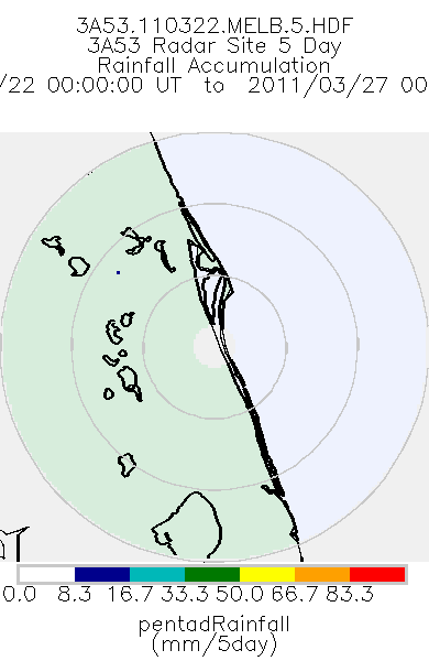
TRMM Ground Validation Radar Site Rain Totals Map L3 5 days 2 km V7 (TRMM_3A53) at GES DISC
National Aeronautics and Space Administration —
This is the 5-day accumulation of the 2A53 product, 'Radar Site Rain Map', which originally is an instantaneous surface rain rate map in Cartesian coordinates with a... -
Federal
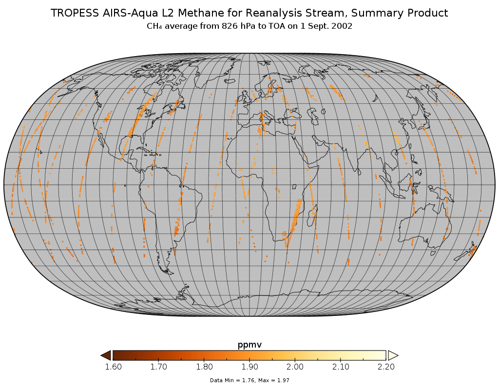
TROPESS AIRS-Aqua L2 Methane for Reanalysis Stream, Summary Product V1 (TRPSYL2CH4AIRSORS) at GES DISC
National Aeronautics and Space Administration —
The TROPESS AIRS-Aqua L2 Methane for Reanalysis Stream, Summary Product contains the vertical distribution of the retrieved atmospheric state of methane (CH4), and... -
Federal
AIRS/Aqua L2 CO2 support retrieval (AIRS-only) V005 (AIRS2SPC) at GES DISC
National Aeronautics and Space Administration —
The Atmospheric Infrared Sounder (AIRS) is a grating spectrometer (R = 1200) aboard the second Earth Observing System (EOS) polar-orbiting platform, EOS Aqua. In... -
Federal
Historic Daily Meteorology Data (FIFE)
National Aeronautics and Space Administration —
The FIFE Historic Daily Meteorology Data Data Set is one of the historical data sets used for the FIFE project. The data set contains data back to January, 1900. This... -
Federal
HRIR/Nimbus-2 Images of Nighttime Brightness Temperature on 70 mm Film V001 (HRIRN2IM) at GES DISC
National Aeronautics and Space Administration —
HRIRN2IM is the Nimbus-2 High-Resolution Infrared Radiometer (HRIR) data product containing scanned negatives of photofacsimile 70mm film strips. The images contain... -
Federal
NLDAS Secondary Forcing Data L4 Monthly Climatology 0.125 x 0.125 degree V2.0 (NLDAS_FORB0125_MC) at GES DISC
National Aeronautics and Space Administration —
This data set contains the monthly climatology (MC) data of the secondary forcing data for Phase 2 of the North American Land Data Assimilation System (NLDAS-2). The... -
Federal
Aqua/AIRS L3 Daily Support Product (AIRS-only) 1 degree x 1 degree V7.0 at GES DISC
National Aeronautics and Space Administration —
The Atmospheric Infrared Sounder (AIRS) is a grating spectrometer (R = 1200) aboard the second Earth Observing System (EOS) polar-orbiting platform, EOS Aqua. In... -
Federal
AMSR-E/Aqua surface soil moisture (LSMEM) L3 1 day 0.25 degree x 0.25 degree V001 (WC_LSMEM_SOILM_025) at GES DISC
National Aeronautics and Space Administration —
AMSR-E/Aqua surface soil moisture (LSMEM) L3 1 day 0.25 degree x 0.25 degree V001 is a global, 10-year (2002-2011) data set. It is created from soil moisture... -
Federal
VISSR/GOES-3 Visible Imagery on 70mm Film V001 (VISSRGOES3IMVIS) at GES DISC
National Aeronautics and Space Administration —
VISSRGOES3IMVIS is the Visible Infrared Spin-Scan Radiometer (VISSR) Visible Imagery on 70mm Film data product from the third Geostationary Operational Environmental... -
Federal
TROPESS Chemical Reanalysis Surface SO2 2-Hourly 2-dimensional Product V1 (TRPSCRSO22H2D) at GES DISC
National Aeronautics and Space Administration —
The TROPESS Chemical Reanalysis SO2 2-Hourly 2-dimensional Product contains surface concentrations of sulfur dioxide. The data are part of the Tropospheric Chemical... -
Federal
TROPESS Chemical Reanalysis Surface NO2 2-Hourly 2-dimensional Product V1 (TRPSCRNO22H2D) at GES DISC
National Aeronautics and Space Administration —
The TROPESS Chemical Reanalysis NO2 2-Hourly 2-dimensional Product contains surface concentrations of nitrogen dioxide. The data are part of the Tropospheric Chemical... -
Federal
TROPESS Chemical Reanalysis Surface NO 2-Hourly 2-dimensional Product V1 (TRPSCRNO2H2D) at GES DISC
National Aeronautics and Space Administration —
The TROPESS Chemical Reanalysis NO 2-Hourly 2-dimensional Product contains surface concentrations of nitric oxide. The data are part of the Tropospheric Chemical... -
Federal
SAFARI 2000 Organic Soil Carbon and Nitrogen Data (Zinke et al.)
National Aeronautics and Space Administration —
The data set contains a subset of the Worldwide Organic Soil Carbon and Nitrogen (Zinke et al. 1986) data set for southern Africa. The data were obtained from soil... -
Federal
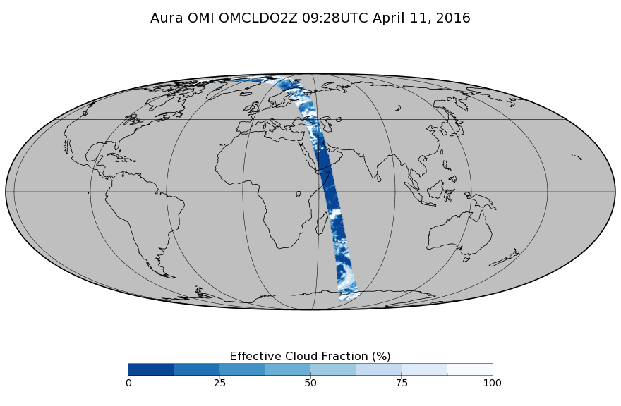
OMI/Aura Cloud Pressure and Fraction (O2-O2 Absorption) Zoomed 1-Orbit L2 Swath 13x12km V003 (OMCLDO2Z) at GES DISC
National Aeronautics and Space Administration —
The reprocessed Aura Ozone Monitoring Instrument (OMI) Level-2 zoomed cloud data product OMCLDO2Z at 13x12 km resolution is now available from the NASA Goddard Earth... -
Federal
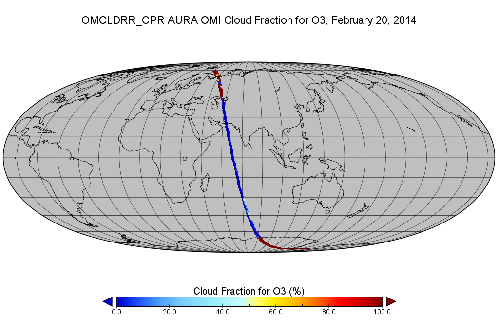
OMI/Aura Cloud Pressure and Fraction (Raman Scattering) 200-km swath subset along CloudSat track V003 (OMCLDRR_CPR) at GES DISC
National Aeronautics and Space Administration —
This is the OMI/Aura Cloud Pressure and Fraction (Raman Scattering) subset along CloudSat tracks, for the purposes of the A-Train mission. The original data product... -
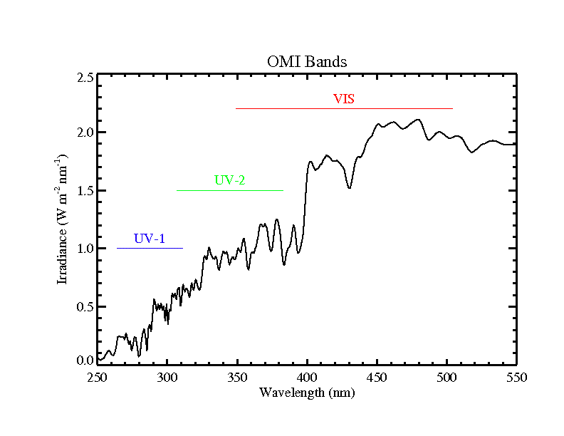
Federal
OMI/Aura Level 1B UV Zoom-in Geolocated Earthshine Radiances V004 (OML1BRUZ) at GES DISC
National Aeronautics and Space Administration —
The Aura Ozone Monitoring Instrument (OMI) Level 1B (L1B) Geolocated Earthshine UV Radiance, Zoom-mode (shortname OML1BRUZ) Version 4 product contains geolocated... -
Federal
Sounder SIPS: JPSS-1 CrIS Level 3 Comprehensive Quality Control Gridded Monthly CLIMCAPS V2 (SNDRJ1IML3CMCCP) at GES DISC
National Aeronautics and Space Administration —
WARNING: To users of the derived product “co_mmr_midtrop” (carbon monoxide mass mixing ratio to dry air [kg/kg] at ~500 hPa). This variable has a significant bias due... -
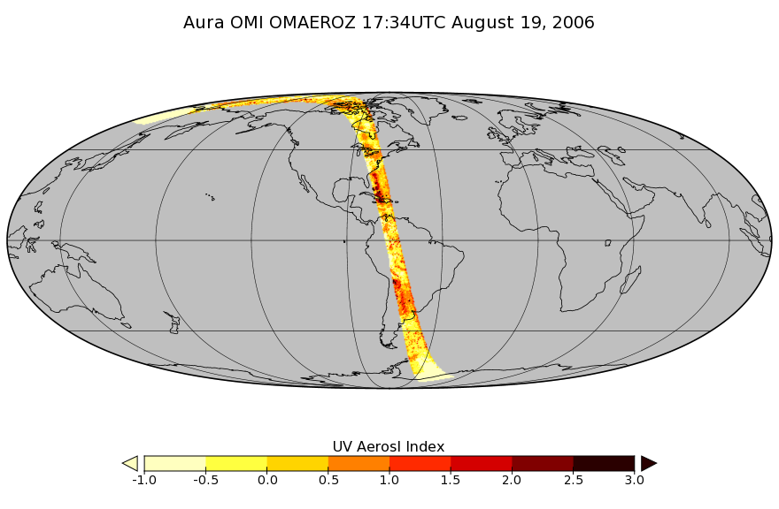
Federal
OMI/Aura Aerosol product Multi-wavelength Algorithm Zoomed 1-Orbit L2 Swath 13x12km V003 (OMAEROZ) at GES DISC
National Aeronautics and Space Administration —
The reprocessed OMI/Aura Level-2 Zoomed Aerosol data product OMAEROZ at 13x12 km resolution have been made available from the NASA Goddard Earth Sciences Data and...

Official websites use .gov
A
.gov website belongs to an official government
organization in the United States.
Secure .gov websites use HTTPS
A
lock (
) or https:// means you’ve safely connected to
the .gov website. Share sensitive information only on official,
secure websites.