
-
Federal
Virginia Key nest survey data
National Oceanic and Atmospheric Administration, Department of Commerce —
Seasonal (May-Sep) daily surveys are conducted on Virginia Key, FL to document marine turtle nesting activity. -
Federal
2020 Cartographic Boundary File (KML), Current County Subdivision for Maryland, 1:500,000
U.S. Census Bureau, Department of Commerce —
The 2020 cartographic boundary KMLs are simplified representations of selected geographic areas from the U.S. Census Bureau's Master Address File / Topologically... -
Federal
Summary of satellite tagged sea turtles at NOAA Galveston 2002-2016
National Oceanic and Atmospheric Administration, Department of Commerce —
A masters level student at Texas A&M University at Galveston [TAMUG] worked for the Galveston Lab and applied satellite tags to nesting turtles. When the student... -
Federal
International Satellite Cloud Climatology Project (ISCCP) TOVS in Native Data Format
National Aeronautics and Space Administration —
ISCCP_TOVS_NAT_1 is the International Satellite Cloud Climatology Project (ISCCP) TIROS Operational Vertical Sounder (TOVS) data set in the Native Data Format. It is... -
Federal
National Coral Reef Monitoring Program: Towed-diver Surveys of Benthic Habitat, Key Benthic Species, and Marine Debris Sightings of American Samoa in 2015
National Oceanic and Atmospheric Administration, Department of Commerce —
The towed-diver method is used to conduct benthic surveys, assessing large-scale disturbances (e.g., bleaching) and quantifying benthic components such as habitat... -
Federal
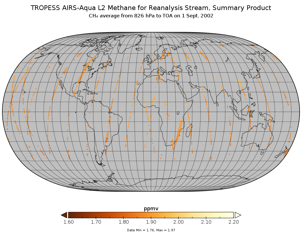
TROPESS AIRS-Aqua L2 Methane for Reanalysis Stream, Summary Product V1 (TRPSYL2CH4AIRSORS) at GES DISC
National Aeronautics and Space Administration —
The TROPESS AIRS-Aqua L2 Methane for Reanalysis Stream, Summary Product contains the vertical distribution of the retrieved atmospheric state of methane (CH4), and... -
Federal
AIRS/Aqua L2 CO2 support retrieval (AIRS-only) V005 (AIRS2SPC) at GES DISC
National Aeronautics and Space Administration —
The Atmospheric Infrared Sounder (AIRS) is a grating spectrometer (R = 1200) aboard the second Earth Observing System (EOS) polar-orbiting platform, EOS Aqua. In... -
Federal
H13960: NOS Hydrographic Survey , 2024-07-19
National Oceanic and Atmospheric Administration, Department of Commerce —
The National Oceanic and Atmospheric Administration (NOAA) has the statutory mandate to collect hydrographic data in support of nautical chart compilation for safe... -
Federal
Historic Daily Meteorology Data (FIFE)
National Aeronautics and Space Administration —
The FIFE Historic Daily Meteorology Data Data Set is one of the historical data sets used for the FIFE project. The data set contains data back to January, 1900. This... -
Federal
School District Office Locations 2018-19
Department of Education —
The National Center for Education Statistics' (NCES) Education Demographic and Geographic Estimate (EDGE) program develops annually updated point locations (latitude... -
State
California Teacher Supply Report
State of California —
The State AB 471 requires that the California Commission on Teacher Credentialing report to the Governor and the Legislature each year on the number of teachers who... -
Federal
2024 Cartographic Boundary File (SHP), Block Group for Wisconsin, 1:500,000
U.S. Census Bureau, Department of Commerce —
The 2024 cartographic boundary shapefiles are simplified representations of selected geographic areas from the U.S. Census Bureau's Master Address File /... -
Federal
Observation-Based Resource Assessment of Gulf Stream MHK
Department of Energy —
Multi-year measurements of current velocity, salinity, and temperature from fixed and vessel-mounted sensors quantify Gulf Stream (GS) MHK resource variability and... -
State
Suicide Prevention
State of Missouri —
A collection of national resources on suicide prevention for service members, Veterans and their families. -
Federal
2010 USVI Larval Reef Fish Distribution and Supply Study
National Oceanic and Atmospheric Administration, Department of Commerce —
Contains the final, processed data from the joint Coral Reef Ecosystem Research (CRER) and Reef Fish Resources (RFR) cruise conducted aboard the NOAA Ship NANCY... -
Federal
TES/Aura L2 Carbon Monoxide Nadir Special Observation V007
National Aeronautics and Space Administration —
TL2CONS_7 is the Tropospheric Emission Spectrometer (TES)/Aura Level 2 Carbon Monoxide Nadir Special Observation Version 7 data product. TES was an instrument aboard... -
Federal
AFSC/ABL:Coded-wire tag (CWT) database for NOAA Fisheries, Alaska
National Oceanic and Atmospheric Administration, Department of Commerce —
Information on CWT salmonids throughout the Pacific region is available in an on-line coastwide database, the Regional Mark Information System (RMIS). This database... -
Federal
F00404: NOS Hydrographic Survey , Approaches to Galveston, Texas, 1994-08-09
National Oceanic and Atmospheric Administration, Department of Commerce —
The National Oceanic and Atmospheric Administration (NOAA) has the statutory mandate to collect hydrographic data in support of nautical chart compilation for safe... -
Federal
Experimental Vertical Longline Report data collected during NOAA R/V Townsend Cromwell cruises in 1985 and 1987 at the Hancock Seamounts
National Oceanic and Atmospheric Administration, Department of Commerce —
Experimental vertical longline sets were deployed during 3 cruises of NOAA R/V Townsend Cromwell at the Hancock Seamounts in 1985 and 1987. Collected data included... -
Federal
H08816: NOS Hydrographic Survey , Vicinity of Drake Island, Alaska, 1964-06-22
National Oceanic and Atmospheric Administration, Department of Commerce —
The National Oceanic and Atmospheric Administration (NOAA) has the statutory mandate to collect hydrographic data in support of nautical chart compilation for safe...

Official websites use .gov
A
.gov website belongs to an official government
organization in the United States.
Secure .gov websites use HTTPS
A
lock (
) or https:// means you’ve safely connected to
the .gov website. Share sensitive information only on official,
secure websites.
.jpg)