
-
Federal
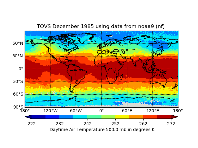
TOVS GLA MONTHLY GRIDS from NOAA-9 02 (TOVSAMNF) at GES DISC
National Aeronautics and Space Administration —
This dataset (TOVSAMNF) contains the TIROS Operational Vertical Sounder (TOVS) level 3 geophysical parameters derived using data from NOAA-9 and the physical... -
Federal
ASTER Thermal Anomalies in Western Colorado
Department of Energy —
This layer contains the areas identified as areas of anomalous surface temperature from ASTER satellite imagery. The temperature is calculated using the Emissivity... -
Federal
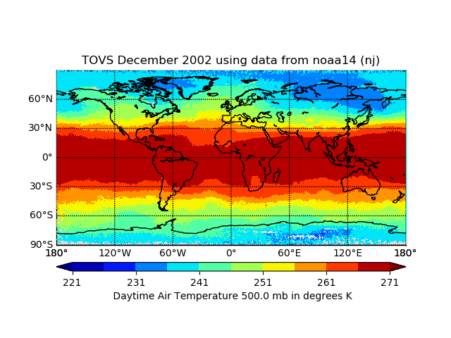
TOVS GLA MONTHLY GRIDS from NOAA-14 02 (TOVSAMNJ) at GES DISC
National Aeronautics and Space Administration —
This dataset (TOVSAMNJ) contains the TIROS Operational Vertical Sounder (TOVS) level 3 geophysical parameters derived using data from NOAA-14 and the physical... -
Federal
TOLNet NASA Langley Research Center Data
National Aeronautics and Space Administration —
TOLNet_LaRC_Data is the lidar data collected by the Langley Mobile Ozone Lidar (LMOL) at NASA Langley Research Center (LaRC) as part of the Tropospheric Ozone Lidar... -
Federal
Calibrated basal heat flow grids for the 3D petroleum systems model of the Williston Basin, USA
Department of the Interior —
Basal heat flow from the crystalline basement and lithospheric mantle into the sedimentary column is a required boundary condition in the petroleum systems model. The... -
Federal
Remotely Sensed Thermal Anomalies in Western Colorado
Department of Energy —
This layer contains the areas identified as areas of anomalous surface temperature from Landsat satellite imagery in Western Colorado. Data was obtained for two... -
Federal
TOVS GLA DAILY GRIDS from TIROSN V01 (TOVSADTN) at GES DISC
National Aeronautics and Space Administration —
This dataset (TOVSADTN) contains the TIROS Operational Vertical Sounder (TOVS) level 3 geophysical parameters derived using data from TIROS-N and the physical... -
Federal
Tropical Ozone Transport Experiment – Vortex Ozone Transport Experiment (TOTE-VOTE) In Situ DC-8 Meteorology and Navigation Data
National Aeronautics and Space Administration —
TOTE-VOTE_MetNav_AircraftInSitu_DC8_Data_1 features the in situ meteorology and navigation data collected onboard the DC-8 aircraft during the Tropical Ozone... -
Federal
Tropical Ozone Transport Experiment - Vortex Ozone Transport Experiment (TOTE-VOTE) Ground Site Lidar Data
National Aeronautics and Space Administration —
TOTE-VOTE_Ground_Data_1 is the ground site data collected as part of the Tropical Ozone Transport Experiment – Vortex Ozone Transport Experiment (TOTE-VOTE) campaign.... -
Federal
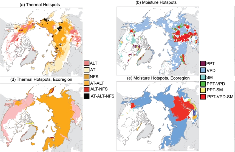
Trends of Thermal, Wetness, and Vegetative Change in the Circumpolar Arctic
National Aeronautics and Space Administration —
This dataset provides estimates of trends in temperature, moisture, and vegetation changes over the circumpolar Arctic. Time series trends were measured by the Theil-... -
Federal
TRACE-P In Situ DC-8 Meteorology and Navigation Data
National Aeronautics and Space Administration —
TRACE-P_MetNav_AircraftInSitu_DC8_Data is the in situ meteorology and navigation data collected onboard the DC-8 aircraft during the Transport and Chemical Evolution... -
Federal
TOVS GLA 5 DAY GRIDS from NOAA-10 V01 (TOVSA5NG) at GES DISC
National Aeronautics and Space Administration —
This dataset (TOVSA5NG) contains the TIROS Operational Vertical Sounder (TOVS) level 3 geophysical parameters derived using data from NOAA-10 and the physical... -
Federal
TOLNet City College of New York Data
National Aeronautics and Space Administration —
TOLNet_CCNY_Data is the lidar data collected by the New York Tropospheric Ozone Lidar System (NYTOLS) at the City College of New York (CCNY) as part of the... -
Federal
Tropical Ozone Transport Experiment - Vortex Ozone Transport Experiment (TOTE-VOTE) Sonde Data
National Aeronautics and Space Administration —
TOTE-VOTE_Sondes_Data_1 is the radiosonde data collected during the Tropical Ozone Transport Experiment – Vortex Ozone Transport Experiment (TOTE-VOTE) campaign. Data... -
Federal
Tropospheric Aerosol Radiative Forcing Observational eXperiment (TARFOX) - meteorological data from Wallops ground station
National Aeronautics and Space Administration —
TARFOX_WALLOPS_MET is the Tropospheric Aerosol Radiative Forcing Observational eXperiment (TARFOX) Surface Meteorological data set Wallops ground station.The TARFOX... -
Federal
Daily surface temperature predictions for 185,549 U.S. lakes with associated observations and meteorological conditions (1980-2020)
Department of the Interior —
Daily lake surface temperatures estimates for 185,549 lakes across the contiguous United States from 1980 to 2020 generated using an entity-aware long short-term... -
Federal
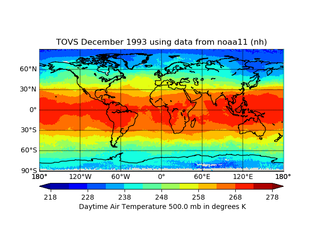
TOVS GLA DAILY GRIDS from NOAA-11 V01 (TOVSADNH) at GES DISC
National Aeronautics and Space Administration —
This dataset (TOVSADNH) contains the TIROS Operational Vertical Sounder (TOVS) level 3 geophysical parameters derived using data from NOAA-11 and the physical... -
Federal
U.S. Landsat 4-8 Analysis Ready Data (ARD) Level-2 Tiles (Albers projection)
Department of the Interior —
The Analysis Ready Data (ARD) Landsat Level-2 Tiles consist of surface reflectance (SR), surface temperature (ST), top of atmosphere (TA) reflectance, brightness... -
Federal
TOVS GLA MONTHLY GRIDS from NOAA-11 02 (TOVSAMNH) at GES DISC
National Aeronautics and Space Administration —
This dataset (TOVSAMNH) contains the TIROS Operational Vertical Sounder (TOVS) level 3 geophysical parameters derived using data from NOAA-11 and the physical... -
Federal
TOVS LMD 5 DAY GRIDS from NOAA-12 V01 (TOVSB5ND) at GES DISC
National Aeronautics and Space Administration —
Level 3 parameters from HIRS/2 and MSU radiances using the Improved Initialization Inversion (3I) classification retrieval scheme by the Laboratoire de Meteorologie...

Official websites use .gov
A
.gov website belongs to an official government
organization in the United States.
Secure .gov websites use HTTPS
A
lock (
) or https:// means you’ve safely connected to
the .gov website. Share sensitive information only on official,
secure websites.