

41 datasets found
-
Federal
New Mexico Geothermal Play Fairway Analysis from LANL
Department of Energy —
This submission contains geospatial (GIS) data on water table gradient and depth, subcrop gravity and magnetic, propsectivity, heat flow, physiographic, boron and BHT... -
Federal
Shallow EGS Regional Resource Potential and Map - Snake River Plain
Department of Energy —
SMU Geothermal Lab developed a methodology to estimate shallow (1 km to 4 km) Enhanced Geothermal Systems (EGS) resource potential using an approach that utilizes... -
Federal
Oregon Cascades Play Fairway Analysis: Faults and Heat Flow Maps
Department of Energy —
This submission includes a fault map of the Oregon Cascades and backarc, a probability map of heat flow, and a fault density probability layer. More extensive... -
Federal
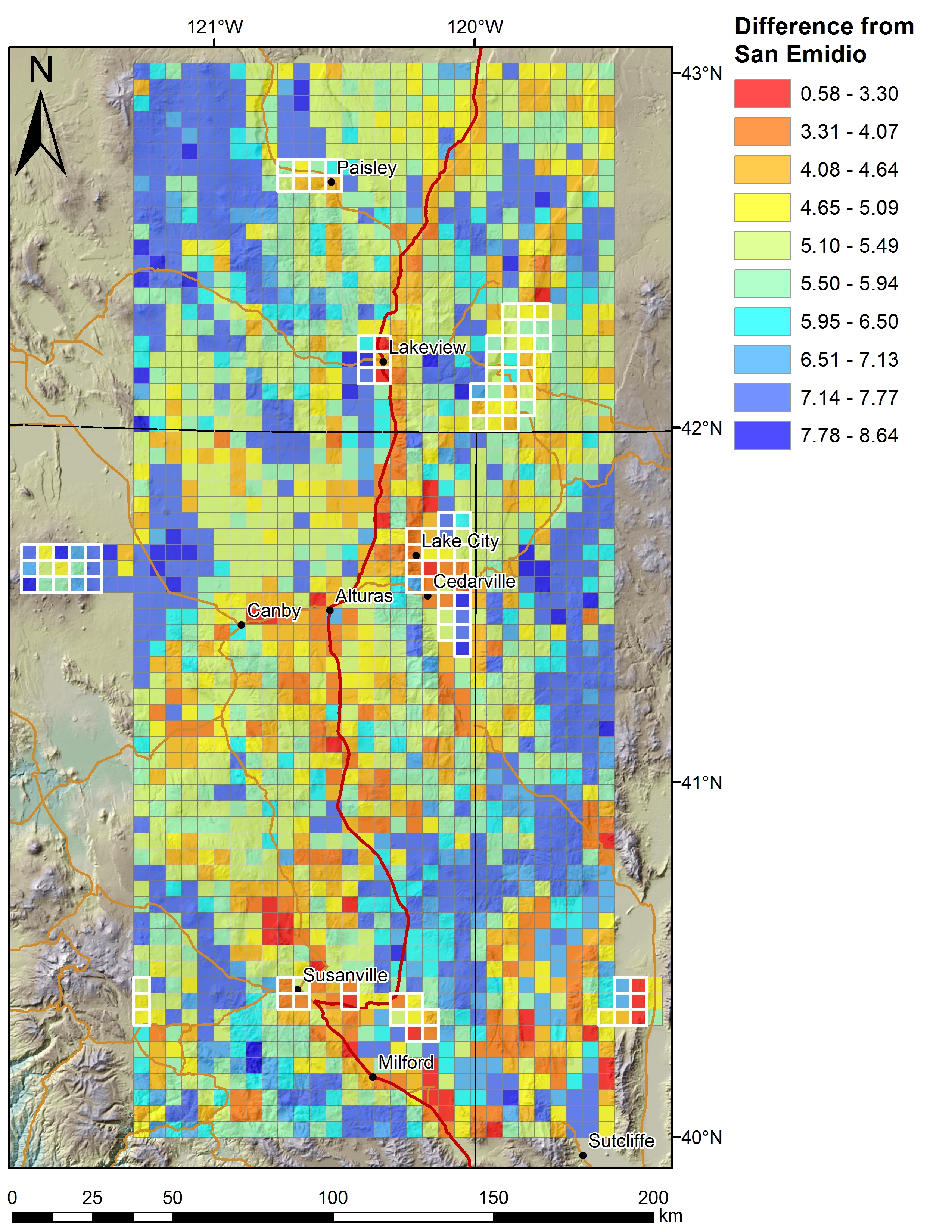
Play Fairway Analysis CA-NV-OR: Additional 2km Grid Figures
Department of Energy —
Various data sets displayed on a 2km grid for the Play Fairway Analysis CA-NV-OR area. Grids at 2km, updated from 5km. -
Federal
Utah FORGE: Heat Flow Contours and Well Data
Department of Energy —
This submission contains a shapefile of heat flow contour lines around the FORGE site located in Milford, Utah. The model was interpolated from data points in the... -
Federal
EGS Collab: Hydraulic Fracturing Test Measurements on the 4100L of SURF
Department of Energy —
This package includes data from two days of testing at the Sanford Underground Research Facility (SURF) on the 4100 level. The tests were performed in borehole TV4100... -
Federal
McGee Mountain Geoprobe Survey, Humboldt County, Nevada
Department of Energy —
This shapefile contains location and attribute data for a Geoprobe temperature survey conducted by Geothermal Technical Partners, Inc. during 2010. The purpose of... -
Federal
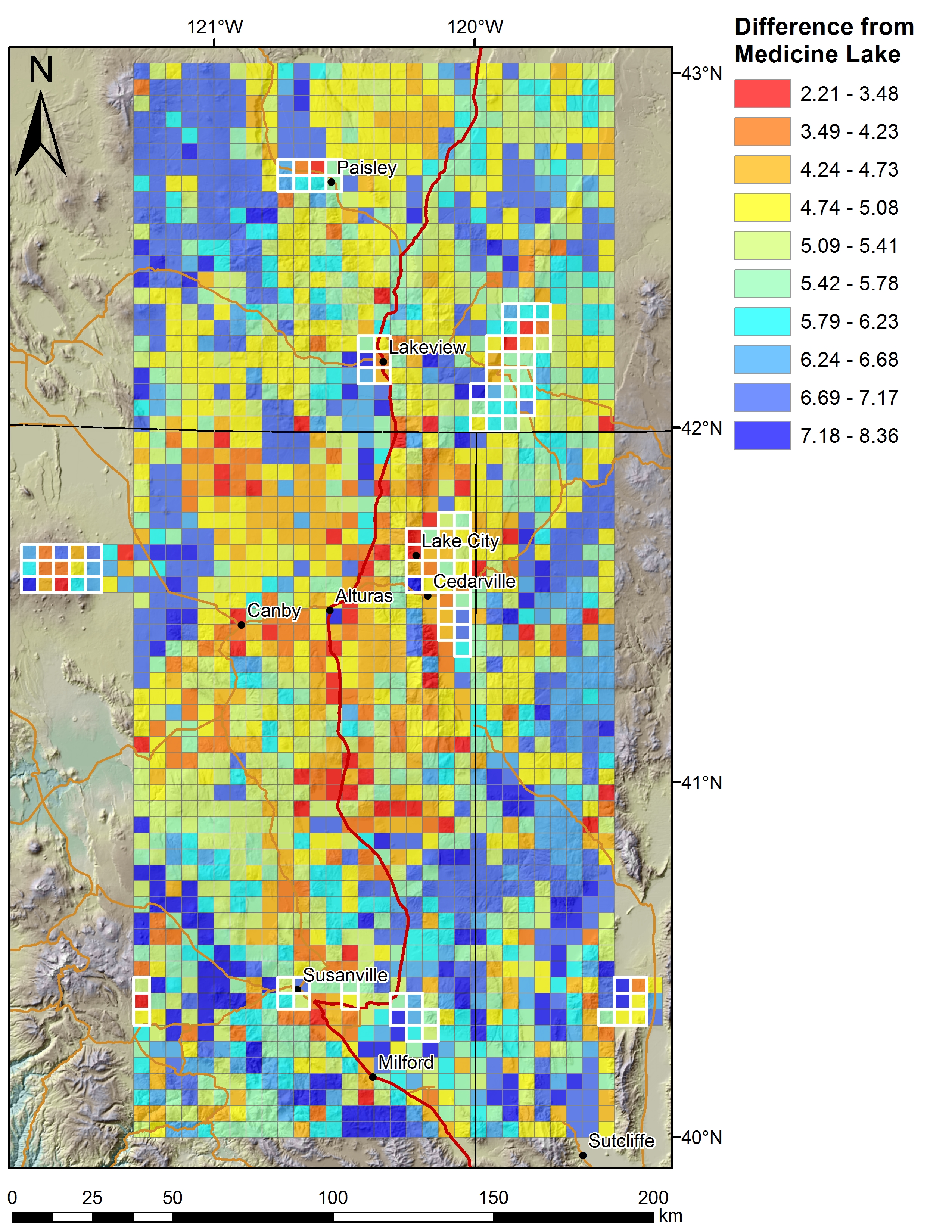
Play Fairway Analysis CA-NV-OR: 2km Grid Based Analysis
Department of Energy —
Combined geochemical and geophysical data, weighted and ranked for geothermal prospect favorability. -
Federal
Resource Analysis for Deep Direct-Use Feasibility Study in East Texas, Part 2
Department of Energy —
The National Renewable Energy Laboratory, Southern Methodist University Geothermal Laboratory, Eastman Chemical, Turbine Air Systems, and the Electric Power Research... -
Federal
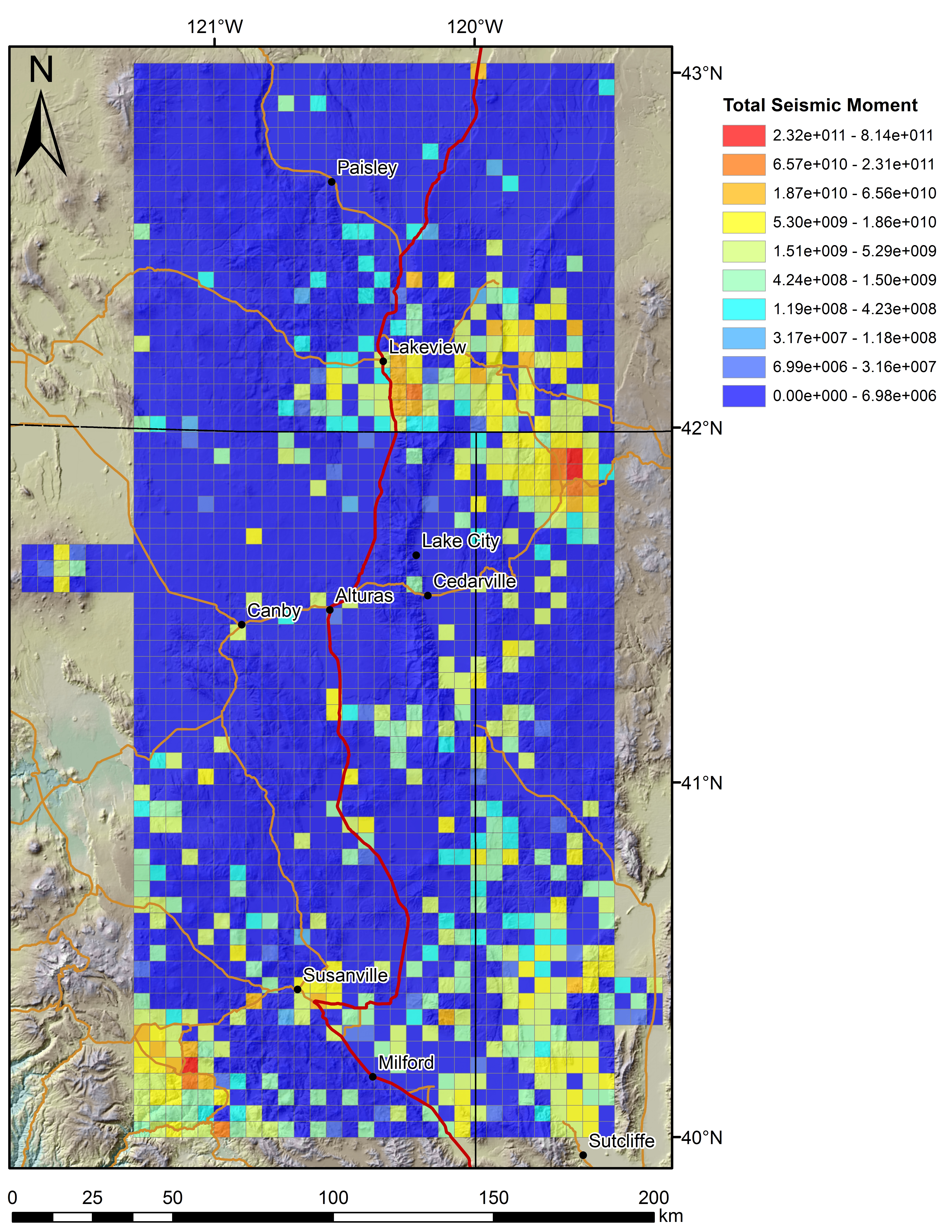
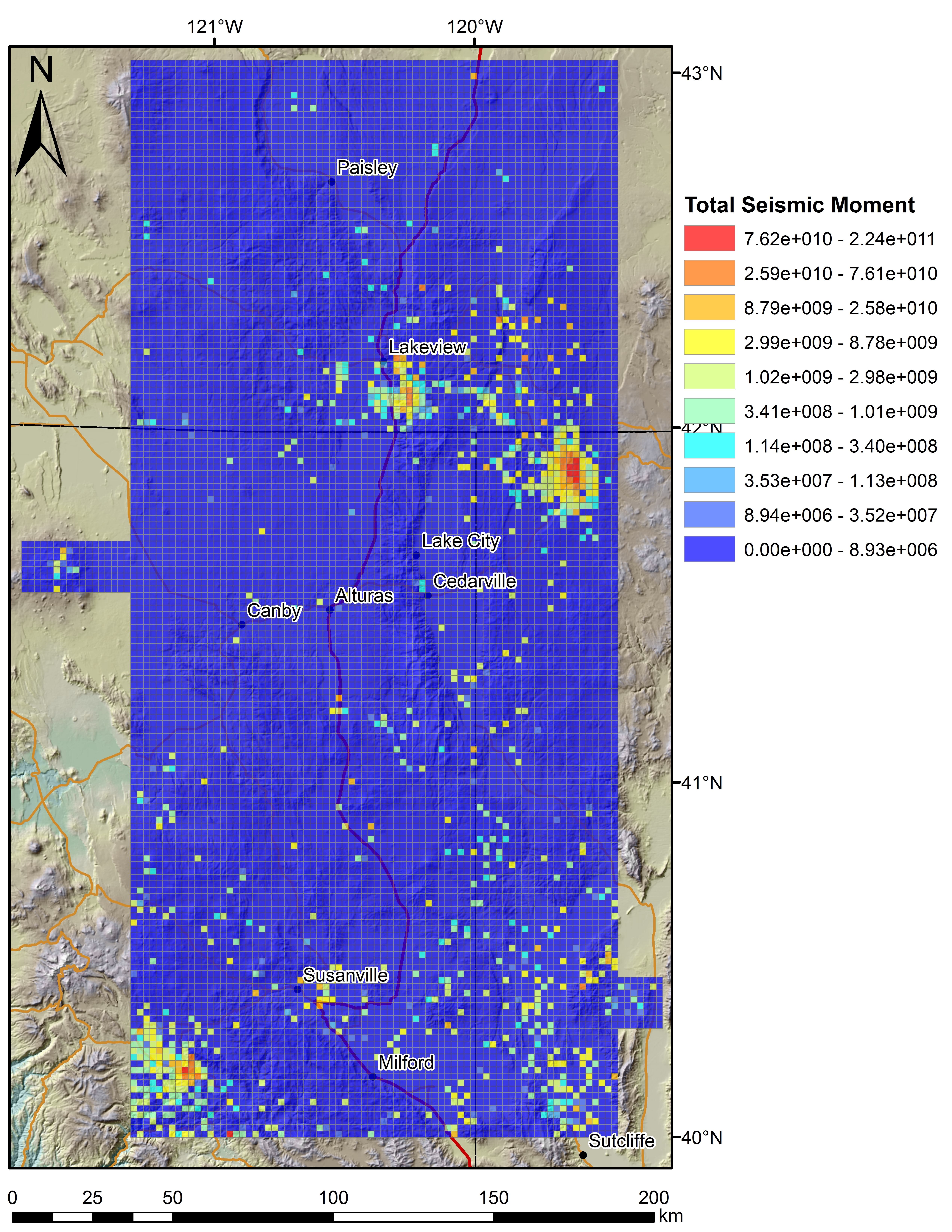
Play Fairway Analysis CA-NV-OR: Figures on 2km Grids
Department of Energy —
Various data sets displayed on a 2km grid for the Play Fairway Analysis CA-NV-OR area. -
Federal
Appalachian Basin Play Fairway Analysis Thermal Risk Factor and Quality Analyses
Department of Energy —
This submission revises the analysis and products for Thermal Quality Analysis for the northern half of the Appalachian Basin... -
Federal
USGS Geophysics, Heat Flow, and Slip and Dilation Tendency Data used in Applications of Machine Learning Techniques to Geothermal Play Fairway Analysis in the Great Basin Region, Nevada
Department of Energy —
This package contains USGS data contributions to the DOE-funded Nevada Geothermal Machine Learning Project, with the objective of developing a machine learning... -
Federal
Appalachian Basin Play Fairway Analysis: Thermal Quality Analysis in Low-Temperature Geothermal Play Fairway Analysis (GPFA-AB)
Department of Energy —
This collection of files are part of a larger dataset uploaded in support of Low Temperature Geothermal Play Fairway Analysis for the Appalachian Basin (GPFA-AB).... -
Federal
Three-dimensional temperature model of the Great Basin, USA (ver. 1.1, November 2024)
Department of the Interior —
As part of the periodic update of the geothermal energy assessments for the USA (e.g., last update by Williams and others, 2008), a new three-dimensional temperature... -
Federal
Colorado Heat Flow Data from IHFC
Department of Energy —
This layer contains the heat flow sites and data of the State of Colorado compiled from the International Heat Flow Commission (IHFC) of the International Association... -
Federal
Tularosa Basin Play Fairway Analysis: Partial Basin and Range Heat and Zones of Critical Stress Maps
Department of Energy —
Interpolated maps of heat flow, temperature gradient, and quartz geothermometers are included as TIF files. Zones of critical stress map is also included as a TIF... -
Federal
Deep Sedimentary Basin EGS Development
Department of Energy —
Stratigraphic reservoirs with high permeability and temperature at economically accessible depths are attractive for power generation because of their large areal...
41 datasets found