

33 datasets found
-
Federal
SMAPVEX16 Iowa Permanent Soil Moisture Network V001
National Aeronautics and Space Administration —
These data consist of soil moisture, soil temperature and precipitation measurements recorded in 2016 by the permanent soil moisture network; SMAPVEX16-Iowa. The... -
Federal
IceBridge Radar L3 Tomographic Ice Thickness V002
National Aeronautics and Space Administration —
This data set contains Level-3 tomographic ice thickness measurements and ice thickness errors over areas of Greenland and Antarctica. Two of the data files... -
Federal
USGS JECAM Canada South Nation
National Aeronautics and Space Administration —
Joint Experiment for Crop Assessment and Monitoring The overarching goal of JECAM is to reach a convergence of approaches, develop monitoring and reporting protocols... -
Federal
GPM GROUND VALIDATION OKLAHOMA CLIMATOLOGICAL SURVEY MESONET MC3E V1
National Aeronautics and Space Administration —
The GPM Ground Validation Oklahoma Climatological Survey Mesonet MC3E data were collected during the Midlatitude Continental Convective Clouds Experiment (MC3E) in... -
Federal
Coho Salmon (Oncorhynchus kisutch) Genetic Data, Glacier Bay National Park, Alaska (1994-1999)
Department of the Interior —
These are genetic data collected from over 700 individual coho salmon (Oncorhynchus kisutch) from 17 streams and rivers within Glacier Bay Alaska and 2 rivers outside... -
Federal
Sea Level Rise Impacts on Ramsar Wetlands of International Importance
National Aeronautics and Space Administration —
The Sea Level Rise Impacts on Ramsar Wetlands of International Importance data set represents the results of an analysis using the boundaries for Ramsar sites... -
Federal
New York State Mesonet IMPACTS V1
National Aeronautics and Space Administration —
The New York State Mesonet IMPACTS dataset is a browse-only dataset and consists of temperature, wind, wind direction, mean sea level pressure, precipitation, and... -
Federal
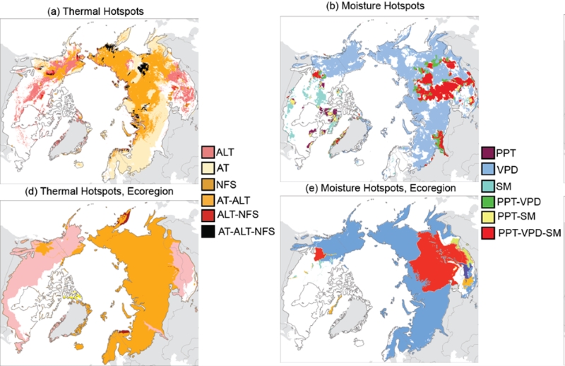
Trends of Thermal, Wetness, and Vegetative Change in the Circumpolar Arctic
National Aeronautics and Space Administration —
This dataset provides estimates of trends in temperature, moisture, and vegetation changes over the circumpolar Arctic. Time series trends were measured by the Theil-... -
Federal
AMSR-E/Aqua Weekly L3 Global Ascending/Descending .25x.25 deg Ocean Grids V002
National Aeronautics and Space Administration —
The Level-3 daily product (AE_DyOcn), weekly product (AE_WkOcn), and monthly product (AE_MoOcn) include SST, near-surface wind speed, columnar water vapor, and... -
Federal
Extended Seasonal Discharge Records for Selected Streamgage Sites in the Fortymile River Basin, Alaska, 1976-2020
Department of the Interior —
Daily mean discharge is needed for water resource management of selected streams in the Fortymile River Basin. The U.S. Geological Survey, in cooperation with the... -
Federal
IceBridge ATM L1B Elevation and Return Strength V002
National Aeronautics and Space Administration —
This data set contains spot elevation measurements of Arctic and Antarctic sea ice, and Greenland, Antarctic Peninsula, and West Antarctic region ice surface acquired... -
Federal
Soil Moisture Active Passive (SMAP) L1-L3 Ancillary GEOS Data V001
National Aeronautics and Space Administration —
This ancillary SMAP product contains three dynamic GMAO GEOS-5 modeled data sets. Each data set contains surface and atmospheric parameters pertinent to SMAP provided...
33 datasets found