
-
Federal
MODIS/Aqua Temp and Water Vapor Profile 5-Min L2 Swath Subset 5km subset along MLS V002 (MAM07S0) at GES DISC NGDA
National Aeronautics and Space Administration —
This is the MODIS/Aqua subset along MLS field of view track. The goal of the subset is to select and return MODIS data that are within +-100 km across the MLS track.... -
Federal
CAMEX-3 DC-8 NAVIGATION (DADS) DATA V1
National Aeronautics and Space Administration —
The CAMEX-3 DC-8 Navigation Data Acquisition and Distribution System (DADS) data files contain information recorded by navigation and data collection systems onboard... -
Federal
TES/Aura L2 Formic Acid Nadir V007
National Aeronautics and Space Administration —
TL2FORN_7 is the Tropospheric Emission Spectrometer (TES)/Aura Level 2 Formic Acid Nadir Version 7 data product. It consists of information for one molecular species... -
Federal
TOVS LMD 5 DAY GRIDS from NOAA-10 V01 (TOVSB5NG) at GES DISC
National Aeronautics and Space Administration —
Level 3 parameters from HIRS/2 and MSU radiances using the Improved Initialization Inversion (3I) classification retrieval scheme by the Laboratoire de Meteorologie... -
Federal
TES/Aura L2 Atmospheric Temperature Lite Nadir V006
National Aeronautics and Space Administration —
Atmospheric vertical profile estimates and associated errors including the mapping matrix to relate the reduced-size retrieval vectors, covariances, and averaging... -
Federal
TOLNet University of Alabama in Huntsville Data
National Aeronautics and Space Administration —
TOLNet_UAH_Data is the lidar data collected by the Rocket-city O3 Quality Evaluation in the Troposphere (RO3QET) lidar at the University of Alabama in Huntsville,... -
Federal
P-3 Meteorological and Navigation Data IMPACTS V1
National Aeronautics and Space Administration —
The P-3 Meteorological and Navigation Data IMPACTS dataset is a subset of airborne measurements that include GPS positioning and trajectory data, aircraft... -
Federal
Sounder SIPS: AQUA AIRS IR MW Level 3 CLIMCAPS : Specific Quality Control Gridded Daily V2 at GES DISC
National Aeronautics and Space Administration —
WARNING: Users of the derived product “co_mmr_midtrop” (carbon monoxide mass mixing ratio to dry air [kg/kg] at ~500 hPa). This variable has a significant bias due to... -
Federal
SAMS/Nimbus-7 Level 1 Radiance Data V001 (SAMSN7L1RAT) at GES DISC
National Aeronautics and Space Administration —
SAMSN7L1RAT is the gridded Nimbus-7 Stratospheric and Mesospheric Sounder (SAMS) Level 1 Radiance Data Product. The radiances were selected to derive gas... -
Federal
TOVS GLA 5 DAY GRIDS from NOAA-11 V01 (TOVSA5NH) at GES DISC
National Aeronautics and Space Administration —
This dataset (TOVSA5NH) contains the TIROS Operational Vertical Sounder (TOVS) level 3 geophysical parameters derived using data from NOAA-11 and the physical... -
Federal
TOVS GLA 5 DAY GRIDS from TIROSN V01 (TOVSA5TN ) at GES DISC
National Aeronautics and Space Administration —
This dataset (TOVSA5TN) contains the TIROS Operational Vertical Sounder (TOVS) level 3 geophysical parameters derived using data from TIROS-N and the physical... -
Federal
TOVS GLA DAILY GRIDS from NOAA-10 V01 (TOVSADNG) at GES DISC
National Aeronautics and Space Administration —
This dataset (TOVSADNG) contains the TIROS Operational Vertical Sounder (TOVS) level 3 geophysical parameters derived using data from NOAA-10 and the physical... -
Federal
TRACE-A Merge Data
National Aeronautics and Space Administration —
TRACE-A_Merge_Data is merge data files created from data collected onboard the DC-8 aircraft during the Transport and Atmospheric Chemistry near the Equator -... -
Federal
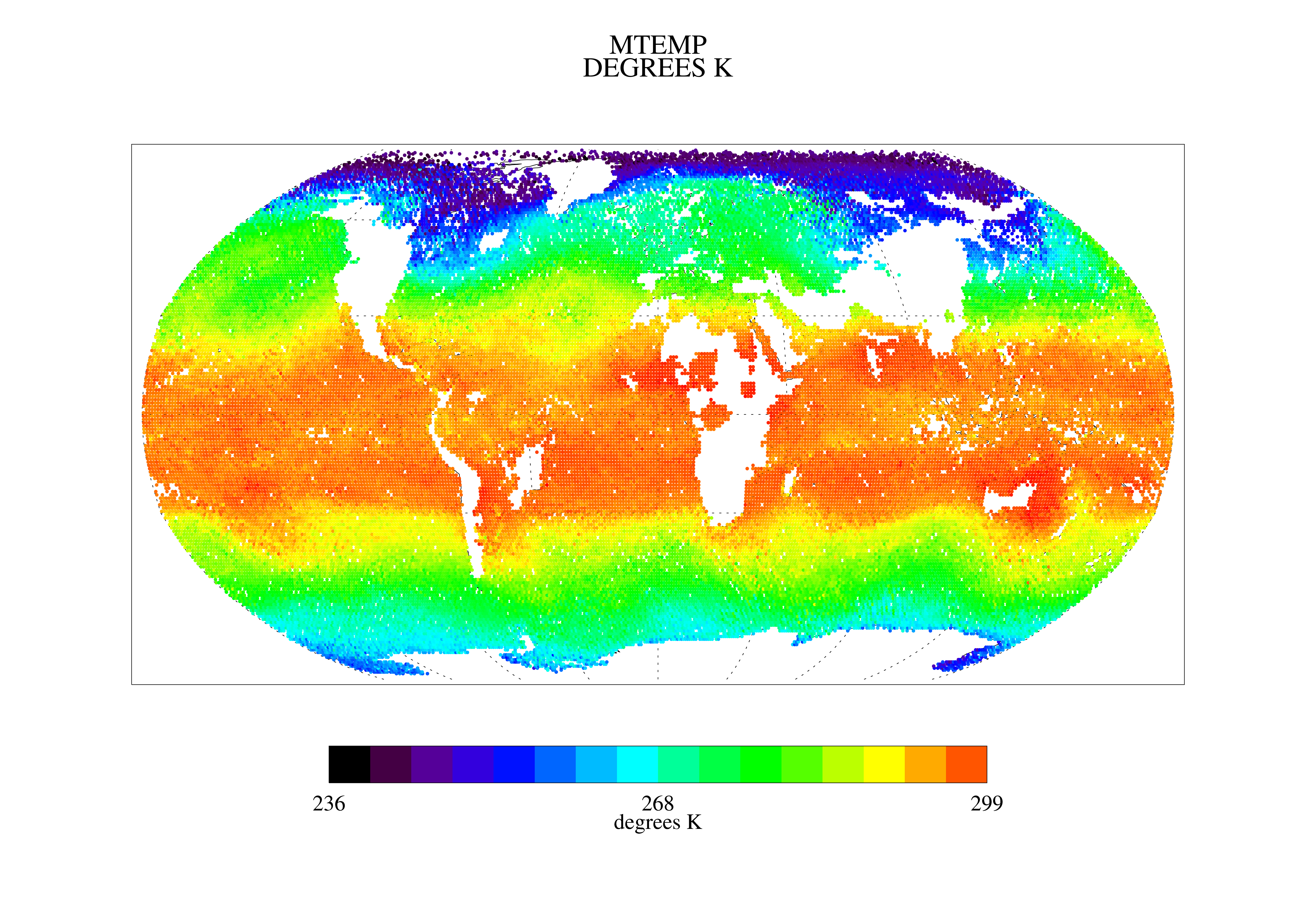
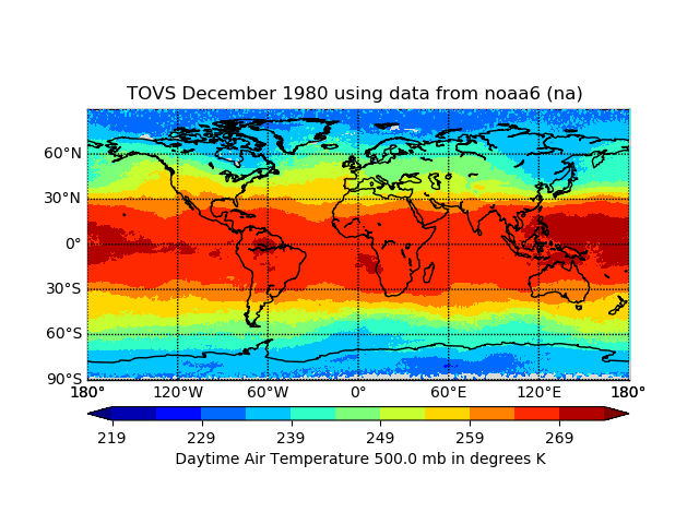
TOVS GLA MONTHLY GRIDS from NOAA-6 02 (TOVSAMNA) at GES DISC
National Aeronautics and Space Administration —
This dataset (TOVSAMNA) contains the TIROS Operational Vertical Sounder (TOVS) level 3 geophysical parameters derived using data from NOAA-6 and the physical... -
Federal
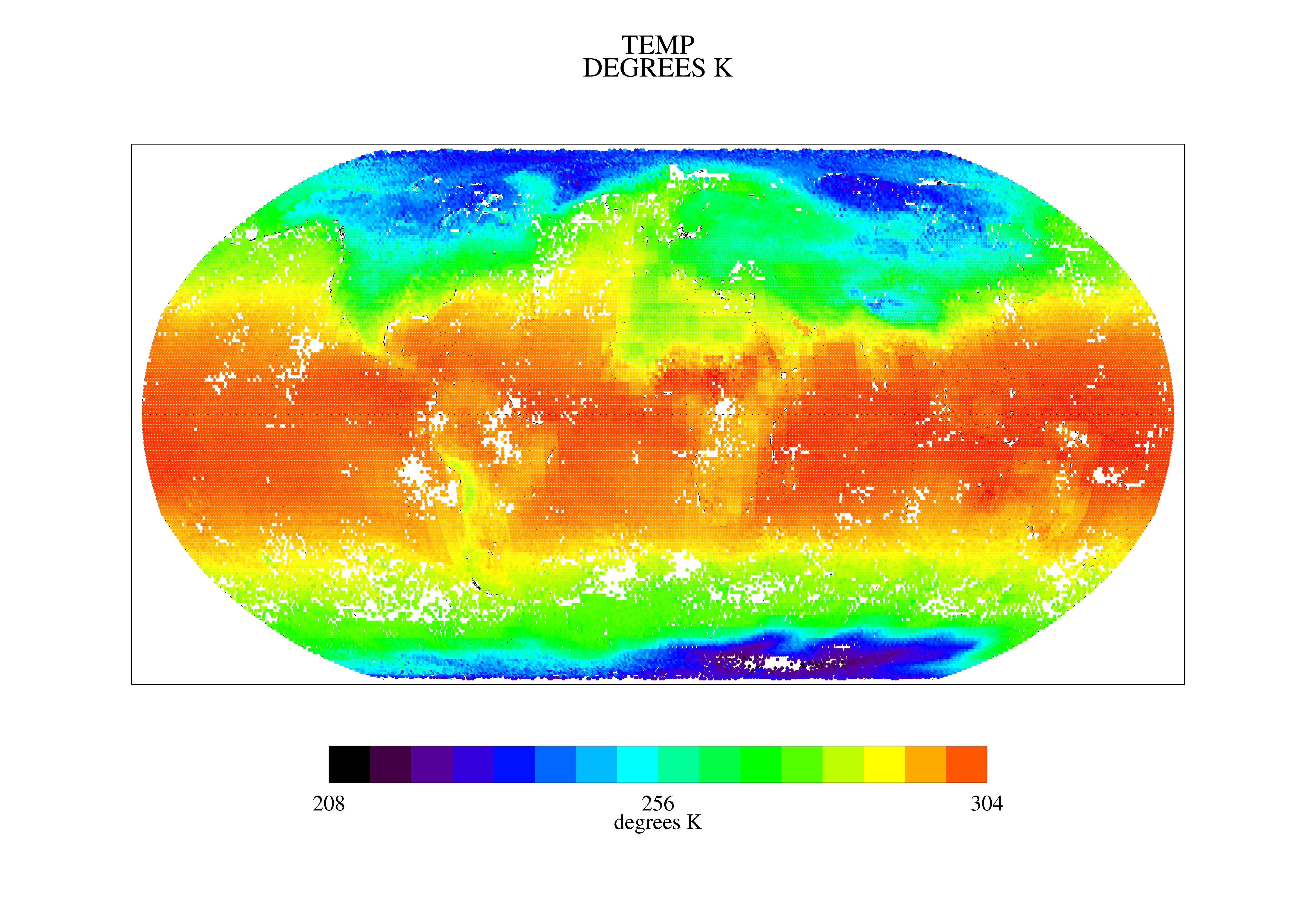
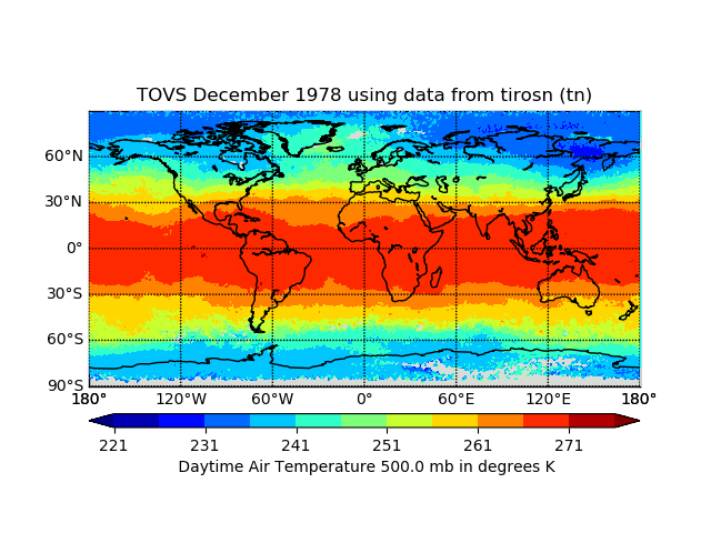
TOVS GLA MONTHLY GRIDS from TIROS-N 02 (TOVSAMTN) at GES DISC
National Aeronautics and Space Administration —
This dataset (TOVSAMTN) contains the TIROS Operational Vertical Sounder (TOVS) level 3 geophysical parameters derived using data from TIROS-N and the physical... -
Federal
TES/Aura L2 Water Vapor Nadir V007
National Aeronautics and Space Administration —
TL2H2ON_7 is the Tropospheric Emission Spectrometer (TES)/Aura Level 2 Water Vapor Nadir Version 7 data product. It consists of information for one molecular species... -
Federal
TOVS GLA MONTHLY GRIDS from NOAA-12 02 (TOVSAMND) at GES DISCc
National Aeronautics and Space Administration —
This dataset (TOVSAMND) contains the TIROS Operational Vertical Sounder (TOVS) level 3 geophysical parameters derived using data from NOAA-12 and the physical... -
Federal
UARS Correlative UKMO Daily Gridded Stratospheric Assimilated Data V001 (UARZCUKM) at GES DISC
National Aeronautics and Space Administration —
The UARS Correlative assimilation data from the U.K. Meteorological Office (UKMO) consists of daily model runs at 12:00 GMT as a means of providing an independent... -
Federal
LIMS/Nimbus-7 Level 3 Daily 2 deg Latitude Zonal Fourier Coefficients of O3, NO2, H2O, HNO3, Geopotential Height, and Temperature V006 (LIMSN7L3) at GES DISC
National Aeronautics and Space Administration —
The Limb Infrared Monitor of the Stratosphere (LIMS) version 6 Level-3 data product consists of daily, 2 degree zonal Fourier coefficients, of vertical profiles of... -
Federal
High Mountain Asia 4-km Dynamically Downscaled Meteorological Data, 2000-2015 V001
National Aeronautics and Space Administration —
This High Mountain Asia (HMA) data set contains simulated meteorological data for the Indus Basin from 2000 through 2015, at three horizontal resolutions – 36 km, 12...

Official websites use .gov
A
.gov website belongs to an official government
organization in the United States.
Secure .gov websites use HTTPS
A
lock (
) or https:// means you’ve safely connected to
the .gov website. Share sensitive information only on official,
secure websites.