

355 datasets found
-
Federal
TPAC Study for Greenhouse gas Reduction through Agricultural Carbon Enhancement network in West Lafayette, Indiana
Department of Agriculture —
TPAC Study for Greenhouse gas Reduction through Agricultural Carbon Enhancement network in West Lafayette, Indiana Recent efforts have attempted to establish emission... -
Federal
Intertidal Temperature Data from Kachemak Bay, Prince William Sound, Katmai National Park and Preserve, and Kenai Fjords National Park
Department of the Interior —
These data are part of the Gulf Watch Alaska (GWA) long-term monitoring program. This dataset consists of date, time, and temperature measurements from intertidal... -
Federal
Jornada Basin LTER: Wireless meteorological station at NPP G-IBPE site: Daily summary data: 2013 - ongoing
Department of Agriculture —
Daily summary data at NPP G-IBPE met station. Average/maximum/minimum air temperature; average/maximum relative humidity and wind speed and average wind direction.... -
Federal
Watershed Data Management (WDM) Database (SC19.WDM) for Salt Creek Streamflow Simulation, DuPage County, Illinois, January 1, 1997, through September 30, 2019 (Ver 1.1)
Department of the Interior —
The watershed data management (WDM) database SC18.WDM is updated with the processed data for the period October 1, 2018, through September 30, 2019. The precipitation... -
Federal
Kootenai NWR: Continuous Air and Stream Temperature Data at Myrtle Creek (Aquatic Health and Climate Change) - Raw and Processed Data
Department of the Interior —
Continuous Temperature Data. Raw Hobo data files collected at Kootenai NWR (Myrtle Creek) and compiled at a regular frequency into a annual (cleaned) dataset (Excel).... -
Federal
Meteorological data at a Sunset Crater cinder field: March 2021 to May 2022: U.S. Geological Survey data release
Department of the Interior —
A meteorological station equipped with a rain gauge, atmospheric pressure sensor, temperature and relative humidity sensor, soil moisture sensor, and an anemometer... -
Federal
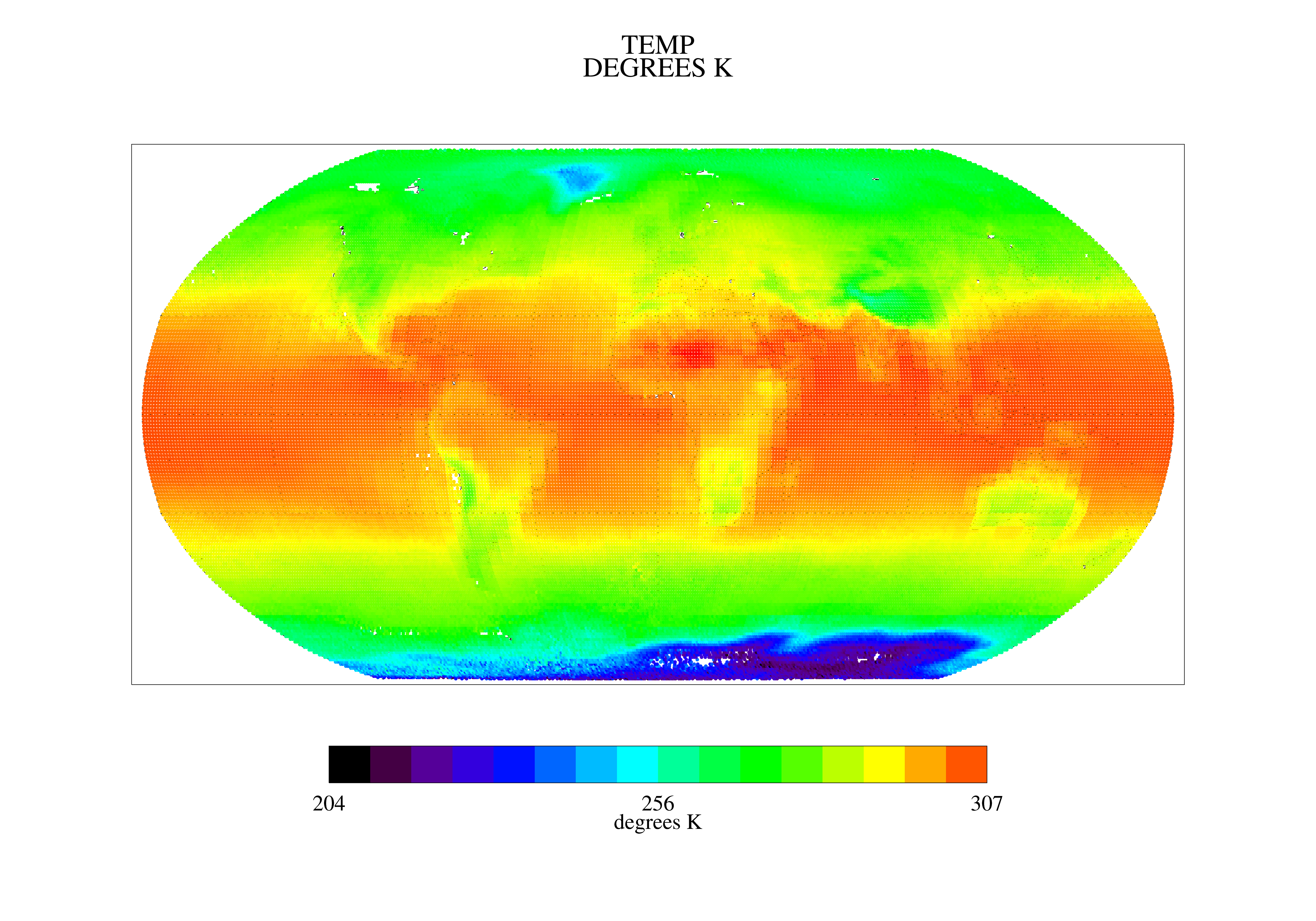
TOVS GLA MONTHLY GRIDS from TIROSN V01 (TOVSAMTN) at GES DISC
National Aeronautics and Space Administration —
This dataset (TOVSAMTN) contains the TIROS Operational Vertical Sounder (TOVS) level 3 geophysical parameters derived using data from TIROSN and the physical... -
Federal
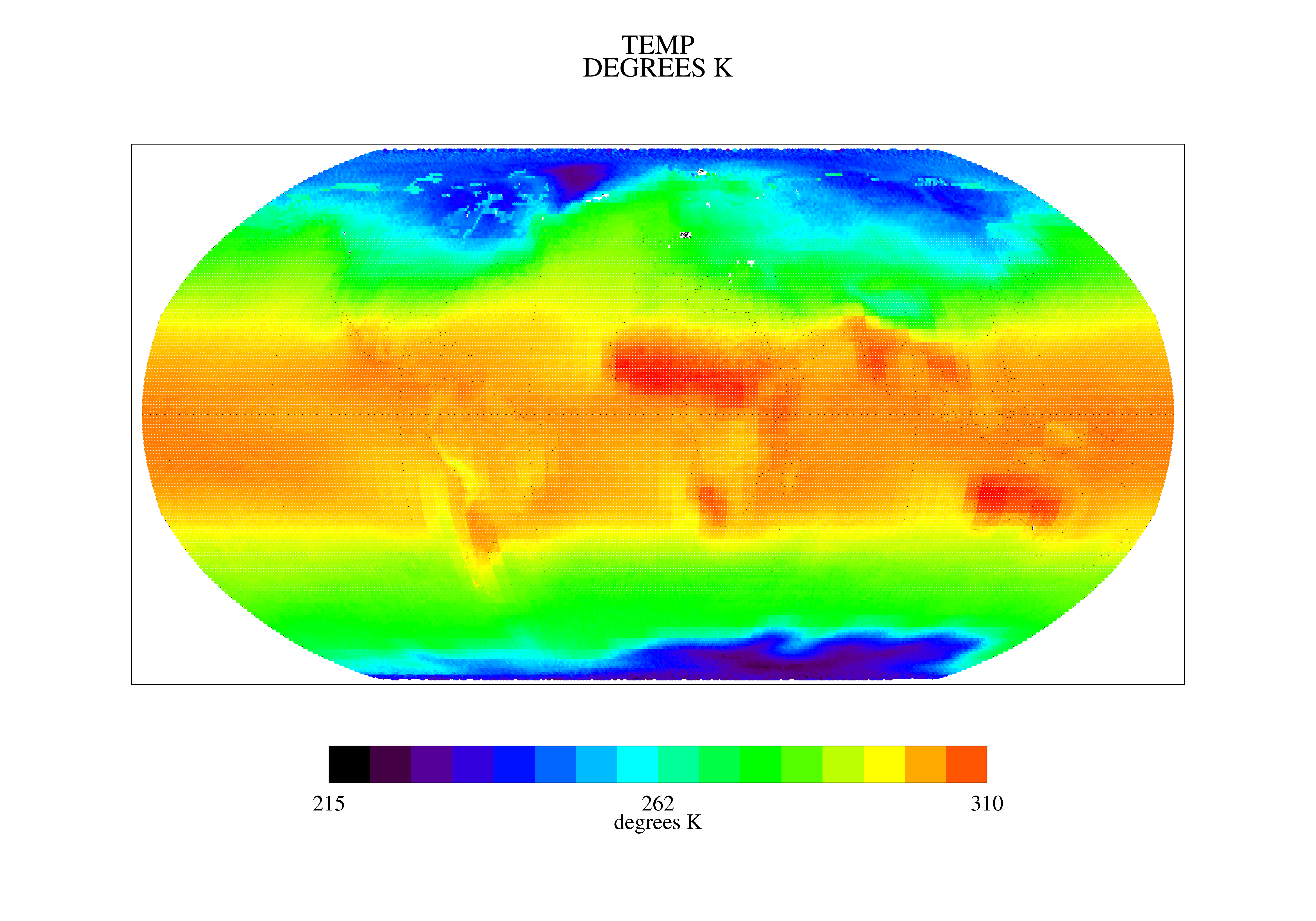
TOVS GLA MONTHLY GRIDS from NOAA-12 V01 (TOVSAMND) at GES DISC
National Aeronautics and Space Administration —
This dataset (TOVSAMND) contains the TIROS Operational Vertical Sounder (TOVS) level 3 geophysical parameters derived using data from NOAA-12 and the physical... -
Federal
Meteorological data from edge-of-field sites in Michigan and Wisconsin, 2015-18
Department of the Interior —
These data describe daily mean air temperature, soil temperature, soil-water (moisture) content, and solar radiation at two edge-of-field sites monitored as part of... -
Federal
Locally verified monthly summary temperature and precipitation data from a NOAA weather station at USDA Jornada Experimental Range headquarters, southern New Mexico USA, 1914-1998
Department of Agriculture —
This data package contains locally verified monthly meteorological observations from a NOAA National Weather Service station located at the USDA Jornada Experimental... -
Federal
Climate and drought adaptation: historical and projected future exposure metrics for Southeastern Utah Group National Parks
Department of the Interior —
These data were compiled to evaluate the magnitude and direction of change from historical conditions in climate metrics across the Southwestern Utah Group (SEUG) of... -
Federal
Daily Climate and SoilDaily Climate and Soil Moisture Data for the Southern Colorado Plateau Network Parks, 1980 – 2018 (ver. 1.1, November 2023)
Department of the Interior —
These data are daily climate, water balance, and soil moisture data for 270 plots in the National Park Service (NPS) Southern Colorado Plateau Network (SCPN)... -
Federal
Standard Quality Controlled Research Weather Data – USDA-ARS, Bushland, Texas
Department of Agriculture —
[ NOTE – 2022/05/06: this dataset supersedes the earlier versions https://doi.org/10.15482/USDA.ADC/1482548 and https://doi.org/10.15482/USDA.ADC/1526329 ]. This... -
Federal
Field Data for an Evaluation of Sensors for Continuous Monitoring of Harmful Algal Blooms in the Finger Lakes Region, New York, 2018 - 2020
Department of the Interior —
This U.S. Geological Survey (USGS) data release contains meteorological, water temperature, light (photosynthetically active radiation and illumination), and... -
Federal
Environmental conditions at the Gisasa River Weir
Department of the Interior —
Tabular dataset containing environmental measures taken at the Gisasa weir by the US Fish and Wildlife Service between 1995 and 2023. Environmental measures include... -
Federal
SGP97 GCIP/NESOB-97 Surface: Daily Precipitation Composite
Department of Agriculture —
The Southern Great Plains 1997 (SGP97) Hydrology Experiment originated from an interdisciplinary investigation, "Soil Moisture Mapping at Satellite Temporal and... -
Federal
Long-Term Agricultural Research (LTAR) network - Meteorological Station - Rock Springs - Upper Chesapeake Bay
Department of Agriculture —
The USDA-ARS Pasture Systems and Watershed Management Research Unit established a meteorological station in 2015 as part of the Upper Chesapeake Bay (UCB) site in the... -
Federal
LTAR - Meteorological Stations - Walnut Gulch Experimental Watershed
Department of Agriculture —
The Southwest Watershed Research Center (SWRC) operates the Walnut Gulch Experimental Watershed (WGEW) in southeastern Arizona as an outdoor laboratory for studying... -
Federal
A summary of CMIP3 and CMIP5 climate change projections for the conterminous U.S.
Department of the Interior —
This dataset includes model projections of seasonal temperature (T), precipitation (P), and runoff (R) from 214 climate simulations from coupled model intercomparison... -
Federal
SEAN weather station corrected data archive (WC_G)
Department of the Interior —
Weather station data from the Southeast Alaska Network of the National Park Service. The collection of output for each weather station in ASCII CSV format at...
355 datasets found