

355 datasets found
-
Federal
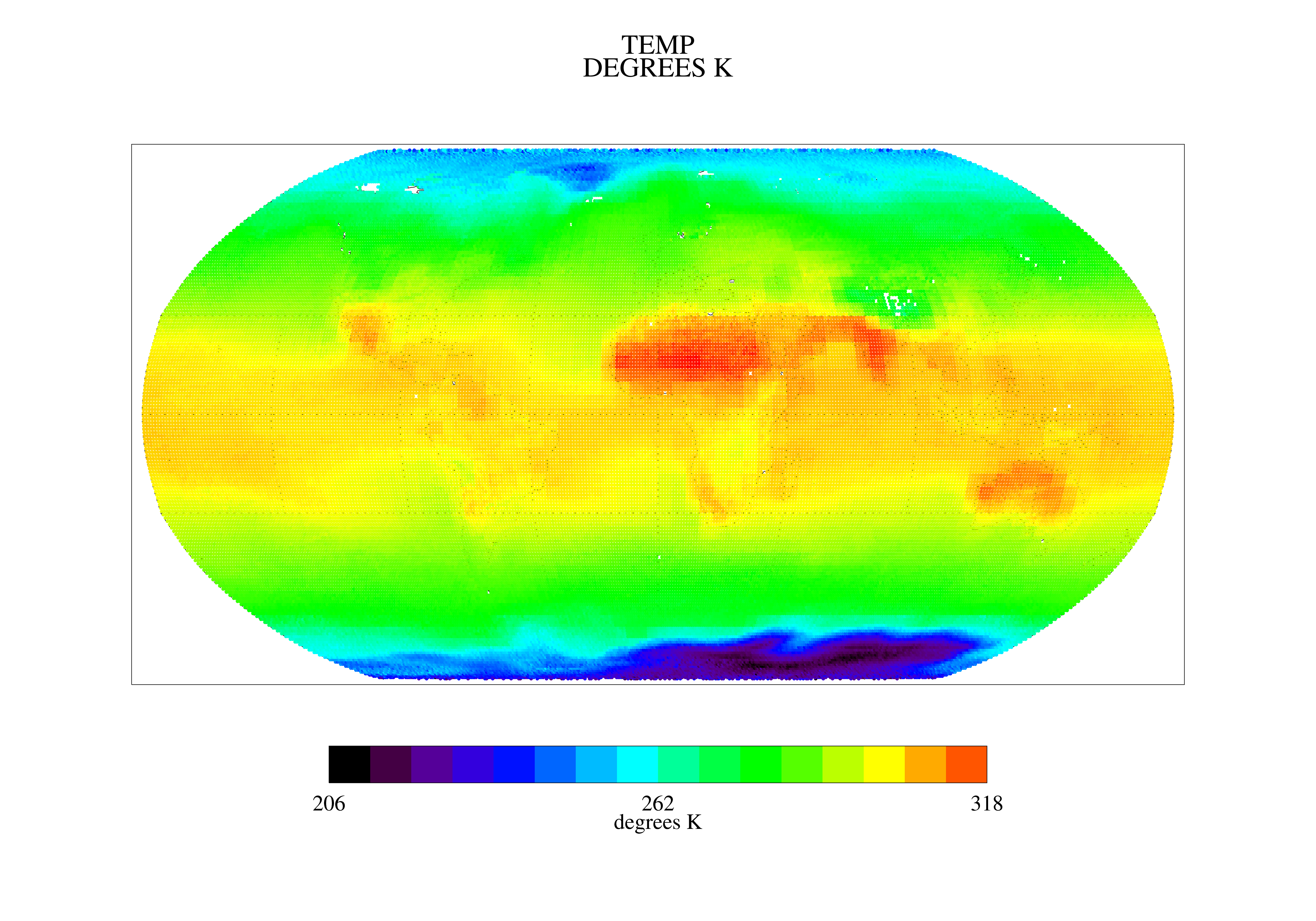
TOVS GLA MONTHLY GRIDS from NOAA-11 V01 (TOVSAMNH) at GES DISC
National Aeronautics and Space Administration —
This dataset (TOVSAMNH) contains the TIROS Operational Vertical Sounder (TOVS) level 3 geophysical parameters derived using data from NOAA-11 and the physical... -
Federal
Jornada Basin LTER Cross-scale Interactions Study (CSIS) Block 6 meteorological station: Daily summary data: 2013 - ongoing
Department of Agriculture —
This data package contains hourly air temperature, relative humidity, wind speed, wind direction, and precipitation summary data from Jornada Basin LTER Cross Scale... -
Federal
Jornada Basin LTER Cross-scale Interactions Study (CSIS) Block 12 meteorological station: Daily summary data: 2013 - ongoing
Department of Agriculture —
This data package contains hourly air temperature, relative humidity, wind speed, wind direction, and precipitation summary data from Jornada Basin LTER Cross Scale... -
Federal
Output Files from Hydrologic Simulations for the Conterminous United States for Historical and Future Conditions Using the National Hydrologic Model Infrastructure (NHM) and the Coupled Model Intercomparison Project Phase 5 (CMIP5) with Dynamic Land Cover
Department of the Interior —
The continental United States (CONUS) was modeled to produce simulations of historical and potential future streamflow using the Precipitation-Runoff Modeling System... -
Federal
TOVS GLA MONTHLY GRIDS from NOAA-10 V01 (TOVSAMNG) at GES DISC
National Aeronautics and Space Administration —
This dataset (TOVSAMNG) contains the TIROS Operational Vertical Sounder (TOVS) level 3 geophysical parameters derived using data from NOAA-10 and the physical... -
Federal
Hourly computed potential evapotranspiration in thousandths of an inch, January 1, 1948 - September 30, 2016
Department of the Interior —
The text file PET.txt contains hourly data from January 1, 1948, to September 30, 2016. Daily potential evapotranspiration (PET) in thousandths of an inch is computed... -
Federal
Watershed Data Management (WDM) Database (SC20.WDM) for Salt Creek Streamflow Simulation, DuPage County, Illinois, January 1, 1997, through September 30, 2020 (Ver 1.1)
Department of the Interior —
The watershed data management (WDM) database SC20.WDM is updated with the processed data for the period October 1, 2019, through September 30, 2020. The precipitation... -
Federal
Jornada Basin LTER: Wireless meteorological station at NPP C-GRAV site: 5-minute summary wind and air temperature data: 2013 - ongoing
Department of Agriculture —
5-minute summary data at NPP C-GRAV met station. Average air temperature, wind speed and wind direction are measured and calculated based on 1-second scan rate of all... -
Federal
Do downscaled general circulation models reliably simulate historical climatic conditions?
Department of the Interior —
This dataset includes nine files (in comma-separated value format [.csv]) which contain metrics that are described in the Bock and others 2018 Earth Interactions... -
Federal
Clean Air Status and Trends Network (CASTNET) hourly temperature and other meteorological data (1990 - present)
U.S. Environmental Protection Agency —
Hourly temperature data and other meteorological data (e.g., relative humidity, solar radiation, precipitation, wind direction) are provided at long-term rural air... -
Federal
Willapa NWR: Continuous Air and Stream Temperature Data at Omeara Creek (Aquatic Health and Climate Change) - Raw and Processed Data
Department of the Interior —
Continuous Temperature Data. Raw Hobo data files collected at Willapa NWR (Omeara Creek) and compiled at a regular frequency into a annual (cleaned) dataset (Excel).... -
Federal
Jornada Basin LTER: Wireless meteorological station at NPP M-WELL site: 5-minute summary wind and air temperature data: 2013 - ongoing
Department of Agriculture —
5-minute summary data at NPP M-WELL met station. Average air temperature, wind speed and wind direction are measured and calculated based on 1-second scan rate of all... -
Federal
Watershed Data Management (WDM) Database (WBDR16.WDM) for West Branch DuPage River Streamflow Simulation, DuPage County, Illinois, October 1, 2013, through September 30, 2016 (ver. 1.1, November 2024)
Department of the Interior —
Watershed Data Management (WDM; Flynn and others, 1995) database file WBDR13.WDM is updated with the quality-assured and quality-controlled meteorological and... -
Federal
Jornada Basin LTER: Wireless meteorological station at NPP C-CALI site: 5-minute summary wind and air temperature data: 2013 - ongoing
Department of Agriculture —
5-minute summary data at NPP C-CALI met station. Average air temperature, wind speed and wind direction are measured and calculated based on 1-second scan rate of all... -
Federal
Cold-weather air and subsurface temperature profiles of three different permeable pavements, Madison, Wisconsin, between 2014 and 2021
Department of the Interior —
Corrected and aggregated temperature data from the subsurface of three permeable pavement types [permeable interlocking concrete pavers (PICP), pervious concrete... -
Federal
Monthly Time Series of Precipitation, Air Temperature, and Net Radiation for 2,673 Gaged River Basins Worldwide
Department of the Interior —
This is the first of two datasets containing derived data necessary to reproduce the results of the associated journal article: "On the Sensitivity of Annual... -
Federal
Meteorological measurements from five weather stations in Grand and San Juan Counties in southeastern Utah (ver. 3.0, September 2024)
Department of the Interior —
These data were compiled from six automated weather stations that together provide several points in the meteorological record across a latitudinal and elevational... -
Federal
GOSSYM
Department of Agriculture —
GOSSYM is a dynamic, process-level simulation model of cotton growth and yield. GOSSYM essentially is a materials balance model which keeps track of carbon and... -
Federal
TOVS GLA MONTHLY GRIDS from NOAA-9 V01 (TOVSAMNF) at GES DISC
National Aeronautics and Space Administration —
This dataset (TOVSAMNF) contains the TIROS Operational Vertical Sounder (TOVS) level 3 geophysical parameters derived using data from NOAA-9 and the physical... -
Federal
Black Canyon of the Gunnison National Park and Curecanti National Recreation Area 1959-2024 Water Quality Data from the BLCA_CURE_WQ Project as of 2024-01-19
Department of the Interior —
This data package was created 2024-10-17 14:21:45 by NPSTORET and includes selected project, location, and result data. The data derive from three sources: (1)...
355 datasets found