

2,995 datasets found
-
Federal
SWOT Level 2 Lake Single-Pass Vector Data Product, Version 2.0
National Aeronautics and Space Administration —
The SWOT Level 2 Lake Single-Pass Vector Data Product from the Surface Water Ocean Topography (SWOT) mission provides water surface elevation, area, storage change... -
Federal
Slab2 - A Comprehensive Subduction Zone Geometry Model, Sulawesi Region
Department of the Interior —
Subduction zones are home to the most seismically active faults on the planet. The shallow megathrust interface of subduction zones host our largest earthquakes, and... -
Federal
SWOT Level 2 Radiometer Brightness Temperatures and Troposphere Operational Data Product, Version 2.0
National Aeronautics and Space Administration —
The SWOT Level 2 Radiometer Brightness Temperatures and Troposphere Operational Geophysical Data Record (OGDR) Version 1.0 dataset produced by the Surface Water and... -
Federal
NOAA-21 VIIRS Regional Ocean Color (OC) - Near Real Time (NRT) Data, version R2022.0
National Aeronautics and Space Administration —
The Ocean Biology DAAC produces near real-time (quicklook) products using the best-available combination of ancillary data from meteorological and ozone data. As... -
Federal
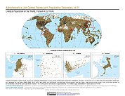
Gridded Population of the World, Version 4 (GPWv4): Administrative Unit Center Points with Population Estimates, Revision 11
National Aeronautics and Space Administration —
The Gridded Population of the World, Version 4 (GPWv4): Administrative Unit Center Points with Population Estimates, Revision 11 consists of UN WPP-adjusted... -
Federal
SnowEx20 Cameron Pass Ground Penetrating Radar Raw V001
National Aeronautics and Space Administration —
This data set contains the raw files from ground-penetrating radar surveys conducted at Cameron Pass, Colorado during the SnowEx20 campaign. Data were collected... -
Federal
Earth+
National Aeronautics and Space Administration —
Earth+ makes NASA satellite photos and data accessible to blind students. -
Federal
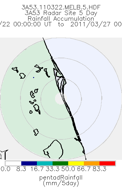
TRMM Ground Validation Radar Site Rain Totals Map L3 5 days 2 km V7 (TRMM_3A53) at GES DISC
National Aeronautics and Space Administration —
This is the 5-day accumulation of the 2A53 product, 'Radar Site Rain Map', which originally is an instantaneous surface rain rate map in Cartesian coordinates with a... -
Federal
ACES Aircraft and Mechanical Data V1
National Aeronautics and Space Administration —
The ACES Aircraft and Mechanical Data consist of aircraft (e.g. pitch, roll, yaw) and mechanical (e.g. aircraft engine speed, tail commands, fuel levels) data... -
Federal
USGS Global Forest Observations Initiative (GFOI) Colombia
National Aeronautics and Space Administration —
The Global Forest Observations Initiative (GFOI) is an initiative of the inter-governmental Group on Earth Observations (GEO) that aims to: foster the sustained... -
Federal
TES/Aura L2 Carbon Monoxide Nadir Special Observation V007
National Aeronautics and Space Administration —
TL2CONS_7 is the Tropospheric Emission Spectrometer (TES)/Aura Level 2 Carbon Monoxide Nadir Special Observation Version 7 data product. TES was an instrument aboard... -
Federal
MODIS/Aqua Snow Cover Monthly L3 Global 0.05Deg CMG V061 NGDA
National Aeronautics and Space Administration —
This global Level-3 (L3) data set provides monthly average snow cover within 0.05° (approx. 5 km) MODIS Climate Modeling Grid (CMG) cells. Monthly averages are... -
Federal
National Assessment of Oil and Gas Project - Eastern Great Basin (019) Assessment Units
Department of the Interior —
The Assessment Unit is the fundamental unit used in the National Assessment Project for the assessment of undiscovered oil and gas resources. The Assessment Unit is... -
Federal
National Assessment of Oil and Gas Project Bighorn Basin Province (034) Depth to the top of the Cloverly Formation (Structure_Top_Cloverly.zip)
Department of the Interior —
This dataset shows depth ranges to the top of the Cloverly Formation within the Big Horn Basin Province, Montana and Wyoming. -
Federal
Benthic habitats of the coral reef ecosystem on the south shore of Moloka'i
Department of the Interior —
A benthic habitat polygon coverage has been created of the coral reef ecosystem on the south shore of Moloka'i. Polygons were hand-digitized from visual...
2,995 datasets found