
-
Federal
Bayesian modeling of NURE airborne radiometric data for the conterminous United States: predictions and grids
Department of the Interior —
This data release includes estimates of potassium (K), equivalent uranium (eU), and equivalent thorium (eTh) for the conterminous United States derived from the U.S.... -
Federal
The StreamCat Dataset: Accumulated Attributes for NHDPlusV2 (Version 2.1) Catchments for the Conterminous United States: Wildfire Burn Percent 1984-2018 (MTBS)
U.S. Environmental Protection Agency —
This dataset represents mean percent are burned from wildfires within individual local and accumulated upstream catchments for NHDPlusV2 Waterbodies for each year for... -
Federal
EnviroAtlas - Horse Operations by County
U.S. Environmental Protection Agency —
This EnviroAtlas dataset summarizes by county the number of farm operations with horses and the number of heads they manage. The data come from the Census of... -
Federal
U.S. Geological Survey East Coast Sediment Texture Database (2014, ECSTDB2014.SHP)
Department of the Interior —
This sediment database contains location, description, and texture of samples taken by numerous marine sampling programs. Most of the samples are from the Atlantic... -
Federal
TEMPESTS MA205 Water Level - CINAR
National Oceanic and Atmospheric Administration, Department of Commerce —
CINAR Storm MA205 Water Level Observations -
Federal
Geospatial Dataset of Wells and Attributes in the New England Groundwater Level Network, 2017 (ver. 1.1, December 2019)
Department of the Interior —
A dataset of well information and geospatial data was developed for 426 U.S. Geological Survey (USGS) observation wells in Connecticut, Maine, Massachusetts, New... -
Federal
2023 Cartographic Boundary File (KML), County Subdivision for Maine, 1:500,000
U.S. Census Bureau, Department of Commerce —
The 2023 cartographic boundary KMLs are simplified representations of selected geographic areas from the U.S. Census Bureau's Master Address File / Topologically... -
Federal
EnviroAtlas - Average Annual Sediment Delivery Ratio (Scaled) - Natural Vegetation Removal Scenario for the Conterminous United States
U.S. Environmental Protection Agency —
This EnviroAtlas national dataset shows the average sediment delivery ratio (SDR) - the percentage of soil eroding from a pixel that is transported to a downstream... -
Federal
The StreamCat Dataset: Accumulated Attributes for NHDPlusV2 (Version 2.1) Catchments for the Conterminous United States: Agricultural Fresh Surface-Water Withdraw
U.S. Environmental Protection Agency —
This dataset represents total fresh surface-water withdrawals in agricultural land within individual, local NHDPlusV2 catchments and upstream, contributing... -
Federal
The LakeCat Dataset: Accumulated Attributes for NHDPlusV2 (Version 2.1) Catchments for the Conterminous United States: Mine Density: Active Mines and Mineral Plants in the US
U.S. Environmental Protection Agency —
This dataset represents mine density within individual local and accumulated upstream catchments for NHDPlusV2 Waterbodies based on mine plants and operations... -
Federal
The LakeCat Dataset: Accumulated Attributes for NHDPlusV2 (Version 2.1) Catchments for the Conterminous United States: GeoChemPhys
U.S. Environmental Protection Agency —
This dataset represents geochemical or geophysical attributes in surface or near surface geology within individual local and accumulated upstream catchments for... -
Federal
The StreamCat Dataset: Accumulated Attributes for NHDPlusV2 (Version 2.1) Catchments for the Conterminous United States: GeoChemPhys
U.S. Environmental Protection Agency —
This dataset represents geochemical or geophysical attributes in surface or near surface geology within individual, local NHDPlusV2 catchments and upstream,... -
Federal
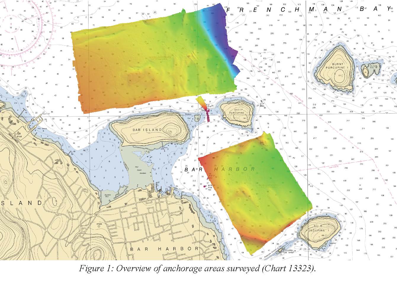
F00725: NOS Hydrographic Survey , 2018-06-15
National Oceanic and Atmospheric Administration, Department of Commerce —
The National Oceanic and Atmospheric Administration (NOAA) has the statutory mandate to collect hydrographic data in support of nautical chart compilation for safe... -
Federal
Digital Surficial Geologic-GIS Map of the Schoodic Head Area, Acadia National Park, Maine (NPS, GRD, GRI, ACAD, SCHE_surficial digital map) adapted from a Maine ,Geological Survey Open-File Map by Borns (1974), and a Maine Geological Survey Progress Map by Gilman (1985)
Department of the Interior —
The Digital Surficial Geologic-GIS Map of the Schoodic Head Area, Acadia National Park, Maine is composed of GIS data layers and GIS tables, and is available in the... -
Federal
The StreamCat Dataset: Accumulated Attributes for NHDPlusV2 (Version 2.1) Catchments for the Conterminous United States: Mine Density Active Mines and Mineral Plants in the US
U.S. Environmental Protection Agency —
This dataset represents the mine density within individual, local NHDPlusV2 catchments and upstream, contributing watersheds based on mine plants and operations... -
Federal
EPA Region 1 Coast Guard Jurisdictional Boundary - Polygons
U.S. Environmental Protection Agency —
Jurisdictional boundary between EPA and Coast Guard for EPA Region I. Created from 1:100000 USGS DLGs with greater detail drawn from 1:24000 commercial street data... -
Federal
Data Release for the 2018 Update of the U.S. National Seismic Hazard Model
Department of the Interior —
The 2018 Update of the U.S. National Seismic Hazard Model defines the potential for earthquake ground shaking for various probability levels across the conterminous... -
Federal
The StreamCat Dataset: Accumulated Attributes for NHDPlusV2 (Version 2.1) Catchments for the Conterminous United States: State Soil Geographic Database (STATSGO) (KFFACT)
U.S. Environmental Protection Agency —
This dataset represents the soil characteristic within individual, local NHDPlusV2 catchments and upstream, contributing watersheds based on the STATSGO landscape... -
Federal
NOAA National Estuarine Research Reserve (NERR) System-wide Monitoring Program (SWMP) Meteorological, Water Quality and Nutrient/Pigment Data from 1994 to 2024
National Oceanic and Atmospheric Administration, Department of Commerce —
The NOAA National Estuarine Research Reserve (NERR) System-wide Monitoring Program (SWMP) collects meteorological, water quality, and nutrient/pigment data on an...

Official websites use .gov
A
.gov website belongs to an official government
organization in the United States.
Secure .gov websites use HTTPS
A
lock (
) or https:// means you’ve safely connected to
the .gov website. Share sensitive information only on official,
secure websites.