
-
Federal
TIGER/Line Shapefile, 2021, County, Volusia County, FL, All Roads
U.S. Census Bureau, Department of Commerce —
The TIGER/Line shapefiles and related database files (.dbf) are an extract of selected geographic and cartographic information from the U.S. Census Bureau's Master... -
Federal
EnviroAtlas 51m Riparian Buffer Forest Cover Web Service
U.S. Environmental Protection Agency —
This EnviroAtlas web service supports research and online mapping activities related to EnviroAtlas (https://www.epa.gov/enviroatlas). This EnviroAtlas dataset... -
Federal
2024 Cartographic Boundary File (SHP), Unified School District for Florida, 1:500,000
U.S. Census Bureau, Department of Commerce —
The 2024 cartographic boundary shapefiles are simplified representations of selected geographic areas from the U.S. Census Bureau's Master Address File /... -
Federal
F00898: NOS Hydrographic Survey , 2024-05-23
National Oceanic and Atmospheric Administration, Department of Commerce —
The National Oceanic and Atmospheric Administration (NOAA) has the statutory mandate to collect hydrographic data in support of nautical chart compilation for safe... -
Federal
F00775: NOS Hydrographic Survey , 2019-06-04
National Oceanic and Atmospheric Administration, Department of Commerce —
The National Oceanic and Atmospheric Administration (NOAA) has the statutory mandate to collect hydrographic data in support of nautical chart compilation for safe... -
Federal
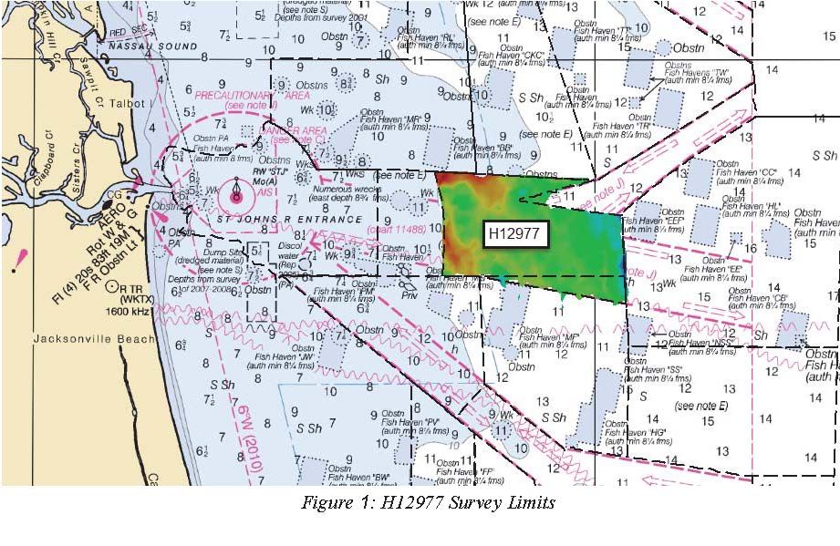
H12977: NOS Hydrographic Survey , 2017-09-05
National Oceanic and Atmospheric Administration, Department of Commerce —
The National Oceanic and Atmospheric Administration (NOAA) has the statutory mandate to collect hydrographic data in support of nautical chart compilation for safe... -
Federal
EnviroAtlas 15m Riparian Buffer Forest Cover Web Service
U.S. Environmental Protection Agency —
This EnviroAtlas web service supports research and online mapping activities related to EnviroAtlas (https://www.epa.gov/enviroatlas). This EnviroAtlas dataset... -
Federal
H12407: NOS Hydrographic Survey , St. Johns River, Florida, 2012-10-02
National Oceanic and Atmospheric Administration, Department of Commerce —
The National Oceanic and Atmospheric Administration (NOAA) has the statutory mandate to collect hydrographic data in support of nautical chart compilation for safe... -
Federal
C-CAP Land Cover, Tampa, Florida, 2021
National Oceanic and Atmospheric Administration, Department of Commerce —
The NOAA Coastal Change Analysis Program (C-CAP) produces national standardized land cover and change products for the coastal regions of the U.S. C-CAP products... -
Federal
TIGER/Line Shapefile, 2021, County, Martin County, FL, All Roads
U.S. Census Bureau, Department of Commerce —
The TIGER/Line shapefiles and related database files (.dbf) are an extract of selected geographic and cartographic information from the U.S. Census Bureau's Master... -
Federal
Planning for Florida's Rising Tides - NERRS/NSC(NERRS Science Collaborative)
National Oceanic and Atmospheric Administration, Department of Commerce —
The beautiful beaches, dramatic landscapes, and oceanside towns of coastal Florida shine like beacons for millions of sunbirds, snow birds, and âstayers.â As sea... -
Federal
TIGER/Line Shapefile, 2021, County, Putnam County, FL, All Roads
U.S. Census Bureau, Department of Commerce —
The TIGER/Line shapefiles and related database files (.dbf) are an extract of selected geographic and cartographic information from the U.S. Census Bureau's Master... -
Federal
H13176: NOS Hydrographic Survey , 2019-06-21
National Oceanic and Atmospheric Administration, Department of Commerce —
The National Oceanic and Atmospheric Administration (NOAA) has the statutory mandate to collect hydrographic data in support of nautical chart compilation for safe... -
Federal
TIGER/Line Shapefile, 2021, County, Holmes County, FL, All Roads
U.S. Census Bureau, Department of Commerce —
The TIGER/Line shapefiles and related database files (.dbf) are an extract of selected geographic and cartographic information from the U.S. Census Bureau's Master... -
Federal
TIGER/Line Shapefile, 2023, State, Florida, FL, Unified School Districts
U.S. Census Bureau, Department of Commerce —
The TIGER/Line shapefiles and related database files (.dbf) are an extract of selected geographic and cartographic information from the U.S. Census Bureau's Master... -
Federal
EnviroAtlas - Tampa, FL - Block Groups
U.S. Environmental Protection Agency —
This EnviroAtlas dataset is the base layer for the Tampa, FL EnviroAtlas Area. The block groups are from the US Census Bureau and are included/excluded based on... -
Federal
2024 Cartographic Boundary File (KML), Place for Florida, 1:500,000
U.S. Census Bureau, Department of Commerce —
The 2024 cartographic boundary KMLs are simplified representations of selected geographic areas from the U.S. Census Bureau's Master Address File / Topologically... -
Federal
Shorelines of the northeastern Florida (FLne) coastal region used in shoreline change analysis
Department of the Interior —
Sandy ocean beaches are a popular recreational destination, often surrounded by communities containing valuable real estate. Development is on the rise despite the... -
Federal
Refining Techniques for High-Frequency Monitoring of Chlorophyll in the NERRS - NERRS/NSC(NERRS Science Collaborative)
National Oceanic and Atmospheric Administration, Department of Commerce —
Twelve biogeochemically diverse reserves participated in a one -year study to standardize protocols for calibration and data management using both chlorophyll methods... -
Federal
Using Advanced Mapping to Measure Changes in Mangrove and Seagrass Habitat over Time - NERRS/NSC(NERRS Science Collaborative)
National Oceanic and Atmospheric Administration, Department of Commerce —
This project evaluated ecosystem damage and recovery by developing a time series of habitat maps for the Rookery Bay National Estuarine Research Reserve. Habitat maps...

Official websites use .gov
A
.gov website belongs to an official government
organization in the United States.
Secure .gov websites use HTTPS
A
lock (
) or https:// means you’ve safely connected to
the .gov website. Share sensitive information only on official,
secure websites.