
-
Federal
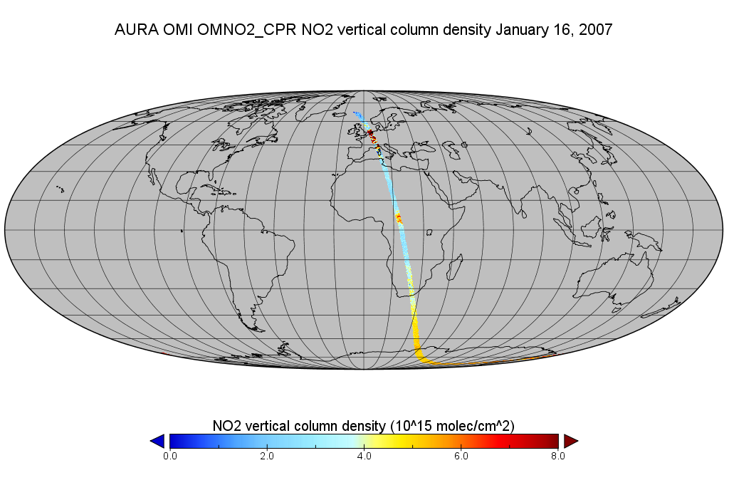
OMI/Aura Level 2 Nitrogen Dioxide (NO2) Trace Gas Column Data 1-Orbit subset Swath along CloudSat track 1-Orbit Swath 13x24 km
National Aeronautics and Space Administration —
This is a CloudSat-collocated subset of the original product OMNO2, for the purposes of the A-Train mission. The goal of the subset is to select and return OMI data... -
Federal
Near Real-time SMAP L1B Radiometer Half-Orbit Time-Ordered Brightness Temperatures V105
National Aeronautics and Space Administration —
This Near Real-Time (NRT) data set corresponds to the standard SMAP L1B Radiometer Half-Orbit Time-Ordered Brightness Temperatures (SPL1BTB) product. The data provide... -
Federal
SnowEx20 CRREL Terrestrial Laser Scanner (TLS) Point Cloud V001
National Aeronautics and Space Administration —
This data set contains terrestrial LIDAR survey (TLS) point cloud data collected at Grand Mesa, Colorado as part of the 2020 SnowEx campaign. Data were collected in... -
Federal
ABoVE: Climate Drivers of Pan-Arctic Tundra Vegetation Productivity, 1982-2015
National Aeronautics and Space Administration —
This dataset provides a summary of potential climate drivers of Arctic tundra vegetation productivity that have been compiled for growing seasons from 1982 to 2015.... -
Federal
ACT-America: Profile-based Planetary Boundary Layer Heights, Eastern USA
National Aeronautics and Space Administration —
This dataset provides profile-based estimates of the height to the top of the planetary boundary layer (PBL), also known as the atmospheric boundary layer (ABL), in... -
Federal
Last of the Wild Project, Version 2, 2005 (LWP-2): Global Human Footprint Dataset (Geographic)
National Aeronautics and Space Administration —
The Global Human Footprint Dataset of the Last of the Wild Project, Version 2, 2005 (LWP-2) is the Human Influence Index (HII) normalized by biome and realm. The HII... -
Federal
VIIRS/JPSS2 Moderate Resolution 6 Min L1B Swath 750 m
National Aeronautics and Space Administration —
The VIIRS/JPSS2 Moderate Resolution 6-Min L1B Swath 750m, short-name VJ202MOD is the Joint Polar-orbiting Satellite System-2 (JPSS-2/NOAA-21; referred to hereafter as... -
Federal
Faults of Europe including Turkey (flt4_2l)
Department of the Interior —
This coverage includes arcs that describe faults found in the surface outcrops of bedrock of Europe including Turkey (Albania, Andorra, Austria, Belgium, Bosnia and... -
Federal
Data for Systematic Observations of the Slip-pulse Properties of Large Earthquake Ruptures
Department of the Interior —
This data release includes geodetic time series from high-rate GPS instruments recording 4 earthquakes co-seismically in the near-field – the 2010 Maule, Chile... -
Federal
OCO-3 Level 1B calibrated, geolocated science spectra, Forward Processing V10 (OCO3_L1B_Science) at GES DISC
National Aeronautics and Space Administration —
Version 10 is the current version of the data set. Older versions will no longer be available and are superseded by Version 10. The Orbiting Carbon Observatory -3... -
Federal
VIIRS/NPP Leaf Area Index/FPAR 8-Day L4 Global 500m SIN Grid V001
National Aeronautics and Space Administration —
The Visible Infrared Imaging Radiometer Suite (VIIRS) Leaf Area Index (LAI) and Fraction of Photosynthetically Active Radiation (FPAR) Version 1 data product provides... -
Federal
Compendium of Environmental Sustainability Indicator Collections: Complete Collection, Version 1.1
National Aeronautics and Space Administration —
The Compendium of Environmental Sustainability Indicator Collections, Version 1.1 contains 426 indicators for 239 countries from five major environmental... -
Federal
International Space Station SERVIR Environmental Research and Visualization System V1
National Aeronautics and Space Administration —
Abstract: The ISS SERVIR Environmental Research and Visualization System (ISERV) acquired images of the Earth's surface from the International Space Station (ISS).... -
Federal
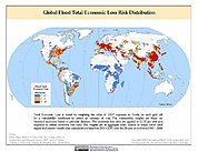
Global Flood Total Economic Loss Risk Deciles
National Aeronautics and Space Administration —
The Global Flood Total Economic Loss Risk Deciles is a 2.5 minute grid of global flood total economic loss risks. A process of spatially allocating Gross Domestic... -
Federal
2015 Urban Extents from VIIRS and MODIS for the Continental U.S. Using Machine Learning Methods NGDA
National Aeronautics and Space Administration —
The 2015 Urban Extents from VIIRS and MODIS for the Continental U.S. Using Machine Learning Methods data set models urban settlements in the Continental United States... -
Federal
Landsat 7 ETM+ Systematically Corrected (1999-May 2003)
National Aeronautics and Space Administration —
The USGS Earth Resources Observation and Science (EROS) Center archive holds data collected by the Landsat suite of satellites, beginning with Landsat 1 in 1972. All... -
Federal
U.S. Census Grids (Summary File 1), 1990: Metropolitan Statistical Areas
National Aeronautics and Space Administration —
The U.S. Census Grids (Summary File 1), 1990: Metropolitan Statistical Areas data set contains grids of demographic and socioeconomic data from the year 1990 U.S.... -
Federal
NOAA-20 VIIRS Level-3 Global Mapped 11µm Daytime Sea Surface Temperature (SST) Data, version R2024.0
National Aeronautics and Space Administration —
The Visible and Infrared Imager/Radiometer Suite (VIIRS) is a multi-disciplinary instrument that is being flown on the Joint Polar Satellite System (JPSS) series of... -
Federal
Landsat Level-2 Surface Reflectance Collection 2
National Aeronautics and Space Administration —
Landsat Level-2 Surface Reflectance Collection 2 products contain atmospherically corrected spectral reflectance data derived from Level-1 products and are available... -
Federal
MODIS/Aqua Sea Ice Extent and IST Daily L3 Global 4km EASE-Grid Day V061 NGDA
National Aeronautics and Space Administration —
This global Level-3 (L3) data set provides Northern and Southern Hemisphere maps of sea ice extent and ice surface temperature. The maps are generated by compositing...

Official websites use .gov
A
.gov website belongs to an official government
organization in the United States.
Secure .gov websites use HTTPS
A
lock (
) or https:// means you’ve safely connected to
the .gov website. Share sensitive information only on official,
secure websites.