
-
Federal
Johnston Draw (Idaho) High Resolution Pre-Fire Vegetation Map 2023
Department of Agriculture —
The variability of vegetation in rangelands can be over generalized in spatial representation and vegetation types mapped by moderate resolution vegetation maps. A... -
University
2012 Whitewater Baldy Post Fire, Mogollon Baldy Peak NE SW, RGB
Earth Data Analysis Center, University of New Mexico —
This dataset contains imagery for the Gila National Forest, Catron and Grant County, New Mexico. The imagery was flown to provide coverage after the 2012 Whitewater-... -
Federal
H08501: NOS Hydrographic Survey , Sawmill Cove, Alaska, 1959-09-25
National Oceanic and Atmospheric Administration, Department of Commerce —
The National Oceanic and Atmospheric Administration (NOAA) has the statutory mandate to collect hydrographic data in support of nautical chart compilation for safe... -
Federal
F00924: NOS Hydrographic Survey , 2025-08-25
National Oceanic and Atmospheric Administration, Department of Commerce —
The National Oceanic and Atmospheric Administration (NOAA) has the statutory mandate to collect hydrographic data in support of nautical chart compilation for safe... -
University
2013 Jaroso Post Fire Imagery, 10
Earth Data Analysis Center, University of New Mexico —
USDA USFS Southwestern Region Contract # AG-8371-C-10-0011 Delivery # AG-8371-D-13-0056 DIGITAL PHOTOGRAPHY ACQUISITION, JAROSO FIRE, NEW MEXICO Project Coordinate... -
Federal
Land of Opportunity: Geothermal, Land-based Wind, and Solar PV Potential on Federal Lands
Department of Energy —
This data packet contains supply curves and a composite siting exclusion TIFF for geothermal, land-based wind, and solar PV across the contiguous United States with... -
Federal
United States Offshore Wind Supply Curves 2024
Department of Energy —
This data packet contains supply curves, hourly generation profiles, and composite siting exclusion TIFFs for offshore wind (OSW) in the waters of the EEZ off the... -
University
2012 Whitewater Baldy Post Fire, Bearwallow Mountain NE NW, CIR
Earth Data Analysis Center, University of New Mexico —
This dataset contains imagery for the Gila National Forest, Catron and Grant County, New Mexico. The imagery was flown to provide coverage after the 2012 Whitewater-... -
Federal
In-situ Raman spectra of indented fused silica
National Institute of Standards and Technology —
In-situ Raman spectroscopic measurements were conducted during indentation of fused silica (FS) samples. The experiments were conducted using Raman spectroscopy-... -
Federal
H08480: NOS Hydrographic Survey , Alden Bank, Washington, 1959-10-13
National Oceanic and Atmospheric Administration, Department of Commerce —
The National Oceanic and Atmospheric Administration (NOAA) has the statutory mandate to collect hydrographic data in support of nautical chart compilation for safe... -
Federal
L02032: NOS Hydrographic Survey , 1948-12-31
National Oceanic and Atmospheric Administration, Department of Commerce —
The National Oceanic and Atmospheric Administration (NOAA) has the statutory mandate to collect hydrographic data in support of nautical chart compilation for safe... -
Federal
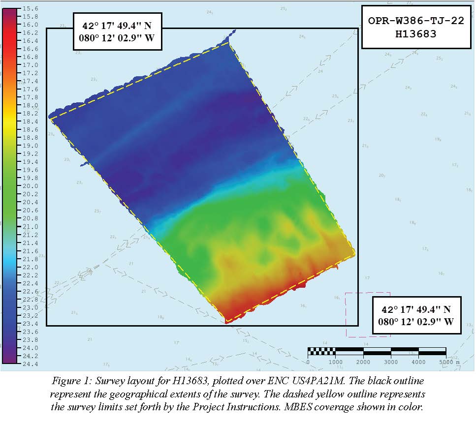
H13683: NOS Hydrographic Survey , 2022-08-14
National Oceanic and Atmospheric Administration, Department of Commerce —
The National Oceanic and Atmospheric Administration (NOAA) has the statutory mandate to collect hydrographic data in support of nautical chart compilation for safe... -
Federal
Agat Unit and Asan Beach Unit bathymetry survey, February - June 2023, War in the Pacific National Historic Park.
Department of the Interior —
Multibeam sonar data collected with an EchoBoat 160 (Seafloor Systems, Inc.) autonomous surface vessel (ASV) equipped with an iWBMSe multibeam sonar (NORBIT). Data... -
Federal
AM Bench 2022 IN625 3D Build Microstructure Modeling Challenge Description Data (AMB2022-05)
National Institute of Standards and Technology —
The following data files are provided in support of the AM Bench 2022 modeling challenges associated with Microstructure measurement extension to AMB2018-01: laser... -
Federal
Wind Integration National Dataset (WIND) Toolkit - Multi-year Annual Average - United States
Department of Energy —
This data provides modeled annual average wind speed for the contiguous United States both onshore and offshore for the period 2007–2013. This dataset was derived... -
Federal
H09713: NOS Hydrographic Survey , Port Etches, Alaska, 1977-09-10
National Oceanic and Atmospheric Administration, Department of Commerce —
The National Oceanic and Atmospheric Administration (NOAA) has the statutory mandate to collect hydrographic data in support of nautical chart compilation for safe... -
Federal
H06736: NOS Hydrographic Survey , 1940-12-31
National Oceanic and Atmospheric Administration, Department of Commerce —
The National Oceanic and Atmospheric Administration (NOAA) has the statutory mandate to collect hydrographic data in support of nautical chart compilation for safe... -
Federal
H00084: NOS Hydrographic Survey , 1839-12-31
National Oceanic and Atmospheric Administration, Department of Commerce —
The National Oceanic and Atmospheric Administration (NOAA) has the statutory mandate to collect hydrographic data in support of nautical chart compilation for safe... -
Federal
H04467: NOS Hydrographic Survey
National Oceanic and Atmospheric Administration, Department of Commerce —
The National Oceanic and Atmospheric Administration (NOAA) has the statutory mandate to collect hydrographic data in support of nautical chart compilation for safe... -
Federal
H12525: NOS Hydrographic Survey , 2013-06-13
National Oceanic and Atmospheric Administration, Department of Commerce —
The National Oceanic and Atmospheric Administration (NOAA) has the statutory mandate to collect hydrographic data in support of nautical chart compilation for safe...

Official websites use .gov
A
.gov website belongs to an official government
organization in the United States.
Secure .gov websites use HTTPS
A
lock (
) or https:// means you’ve safely connected to
the .gov website. Share sensitive information only on official,
secure websites.