-
Federal
West Africa Coastal Vulnerability Mapping: Demographic and Health Survey Data Sets
National Aeronautics and Space Administration —
The West Africa Coastal Vulnerability Mapping: Demographic and Health Survey Data Sets present grids of maternal education levels and household wealth based on... -
Federal
Last of the Wild Project, Version 2, 2005 (LWP-2): Global Human Influence Index (HII) Dataset (IGHP)
National Aeronautics and Space Administration —
The Global Human Influence Index Dataset of the Last of the Wild Project, Version 2, 2005 (LWP-2) is a global dataset of 1-kilometer grid cells, created from nine... -
Federal
Archive of Census Related Products (ACRP): 1990 Standard Extract Files
National Aeronautics and Space Administration —
The 1990 Standard Extract Files portion of the Archive of Census Related Products (ACRP) contains population and housing data derived from the U.S. Census Bureau's... -
Federal
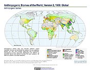
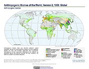
Anthropogenic Biomes of the World, Version 2: 1900
National Aeronautics and Space Administration —
The Anthropogenic Biomes of the World, Version 2: 1900 data set describes anthropogenic transformations within the terrestrial biosphere caused by sustained direct... -
Federal
Global Rural-Urban Mapping Project, Version 1 (GRUMPv1): Population Count Grid
National Aeronautics and Space Administration —
The Global Rural-Urban Mapping Project, Version 1 (GRUMPv1): Population Count Grid estimates human population for the years 1990, 1995, and 2000 by 30 arc-second (1... -
Federal
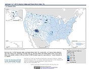
U.S. Census Grids (Summary File 3), 1990
National Aeronautics and Space Administration —
The U.S. Census Grids (Summary File 3), 1990 data set contains grids of demographic and socioeconomic data from the year 1990 U.S. census in ASCII and GeoTIFF... -
Federal
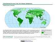
Gridded Species Distribution: Global Mammal Richness Grids, 2015 Release
National Aeronautics and Space Administration —
The 2015 Release of the Global Mammal Richness Grids data set of the Gridded Species Distribution collection are aggregations of the presence grids data for the... -
Federal
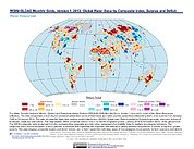
Water Security Indicator Model - Global Land Data Assimilation System (WSIM-GLDAS) Monthly Grids, Version 1
National Aeronautics and Space Administration —
The Water Security Indicator Model - Global Land Data Assimilation System (WSIM-GLDAS) Monthly Grids, Version 1 data set identifies and characterizes surpluses and... -
Federal
Millennium Ecosystem Assessment: MA Rapid Land Cover Change
National Aeronautics and Space Administration —
The Millennium Ecosystem Assessment: MA Rapid Land Cover Change provides data and information on global and regional land cover change in raster format for... -
Federal
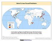
Global Cyclone Hazard Frequency and Distribution
National Aeronautics and Space Administration —
The Global Cyclone Hazard Frequency and Distribution is a 2.5 minute grid based on more than 1,600 storm tracks for the period 1 January 1980 through 31 December 2000... -
Federal
Daily and Annual NO2 Concentrations for the Contiguous United States, 1-km Grids, Version 1.10 (2000-2016)
National Aeronautics and Space Administration —
The Daily and Annual NO2 Concentrations for the Contiguous United States, 1-km Grids, Version 1.10 (2000-2016) data set contains daily predictions of Nitrogen Dioxide... -
Federal
U.S. Census Grids (Summary File 1), 2010
National Aeronautics and Space Administration —
The U.S. Census Grids (Summary File 1), 2010 data set contains grids of demographic and socioeconomic data from the year 2010 in ASCII and GeoTIFF formats. The grids... -
Federal
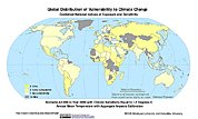
Synthetic Assessment of Global Distribution of Vulnerability to Climate Change: Maps and Data, 2005, 2050, and 2100
National Aeronautics and Space Administration —
The Synthetic Assessment of Global Distribution of Vulnerability to Climate Change: Maps and Data, 2005, 2050, and 2100 data set consist of maps and vulnerability... -
Federal
Daily 8-Hour Maximum and Annual O3 Concentrations for the Contiguous United States, 1-km Grids, Version 1.10 (2000-2016)
National Aeronautics and Space Administration —
The Daily 8-Hour Maximum and Annual O3 Concentrations for the Contiguous United States, 1-km Grids, Version 1.10 (2000-2016) data set contains estimates of ozone... -
Federal
Last of the Wild Project, Version 1, 2002 (LWP-1): Last of the Wild Dataset (Geographic)
National Aeronautics and Space Administration —
The Last of the Wild Dataset of the Last of the Wild Project, Version 1, 2002 (LWP-1) is derived from the LWP-1 Human Footprint Dataset. The gridded data are... -
Federal
Sub-global Scenarios that Extend the Global SSP Narratives: Literature Database, Version 1, 2014-2021
National Aeronautics and Space Administration —
The Sub-global Scenarios that Extend the Global SSP Narratives: Literature Database, Version 1, 2014-2021 consists of 37 columns of bibliographic data, methodological... -
Federal
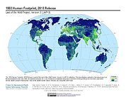
Last of the Wild Project, Version 3 (LWP-3): 1993 Human Footprint, 2018 Release
National Aeronautics and Space Administration —
The 1993 Human Footprint, 2018 Release provides a global map of the cumulative human pressure on the environment in 1993, at a spatial resolution of ~1 km. The human... -
Federal
Anthropogenic Biomes of the World, Version 2: 1700
National Aeronautics and Space Administration —
The Anthropogenic Biomes of the World, Version 2: 1700 data set describes anthropogenic transformations within the terrestrial biosphere caused by sustained direct... -
Federal
Anthropogenic Biomes of the World, Version 2: 1800
National Aeronautics and Space Administration —
The Anthropogenic Biomes of the World, Version 2: 1800 data set describes anthropogenic transformations within the terrestrial biosphere caused by sustained direct... -
Federal
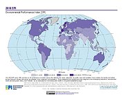
2018 Environmental Performance Index (EPI)
National Aeronautics and Space Administration —
The 2018 Environmental Performance Index (EPI) ranks 180 countries on 24 performance indicators in the following 10 issue categories: air quality, water and...

Official websites use .gov
A
.gov website belongs to an official government
organization in the United States.
Secure .gov websites use HTTPS
A
lock (
) or https:// means you’ve safely connected to
the .gov website. Share sensitive information only on official,
secure websites.