
-
Federal
EnviroAtlas - Durham, NC - Ecosystem Services by Block Group
U.S. Environmental Protection Agency —
This EnviroAtlas dataset presents environmental benefits of the urban forest in 193 block groups in Durham, North Carolina. Carbon attributes, temperature reduction,... -
Federal
Location of grab samples from inner continental shelf of North Carolina during U.S. Geological Survey research cruises 1999-045-FA, 2001-005-FA, 2002-013-FA, 2004-003-FA (grabsamples.shp, geographic, WGS 84)
Department of the Interior —
The northeastern North Carolina coastal system, from False Cape, Virginia, to Cape Lookout, North Carolina, has been studied by a cooperative research program that... -
Federal
TIGER/Line Shapefile, 2024, State, North Carolina, 2020 Census Blocks with Suffixes
U.S. Census Bureau, Department of Commerce —
The TIGER/Line shapefiles and related database files (.dbf) are an extract of selected geographic and cartographic information from the U.S. Census Bureau's Master... -
Federal
Chirp Subbottom Profiler Data Collected in Pamlico Sound on Cruise SndPt_05_21_22_2012 of RV Riggs for the Coastal Hydrodynamics and Natural Geologic Evolution (CHaNGE) Project
National Oceanic and Atmospheric Administration, Department of Commerce —
Edgetech 216 chirp data (SEG-Y format) collected for the Coastal Hydrodynamics and Natural Geologic Evolution (CHaNGE) project, OCE-1130843. Survey area covers... -
County
Knightdale Zoning
Wake County —
Knightdale Zoning. More information: https://www.knightdalenc.gov/departments/development-services/maps-plans-and-ordinances/unified-development-ordinance -
Federal
Chirp shotpoint navigation (from USGS cruise 2003-005-FA from Pamlico Sound, North Carolina (bbc2003005_shots.shp)
Department of the Interior —
The northeastern North Carolina coastal system, from False Cape, Virginia, to Cape Lookout, North Carolina, has been studied by a cooperative research program that... -
Federal
2024 Cartographic Boundary File (SHP), Place for North Carolina, 1:500,000
U.S. Census Bureau, Department of Commerce —
The 2024 cartographic boundary shapefiles are simplified representations of selected geographic areas from the U.S. Census Bureau's Master Address File /... -
Federal
High-resolution shoreline change measurements (1997-2005) from Corolla to Cape Hatteras, NC (swash_shorelines.shp, geographic, WGS 84)
Department of the Interior —
The northeastern North Carolina coastal system, from False Cape, Virginia, to Cape Lookout, North Carolina, has been studied by a cooperative research program that... -
Federal
EnviroAtlas - Durham, NC - Estimated Percent Tree Cover Along Walkable Roads
U.S. Environmental Protection Agency —
This EnviroAtlas dataset estimates tree cover along walkable roads. The road width is estimated for each road and percent tree cover is calculated in a 8.5 meter... -
Federal
TIGER/Line Shapefile, 2021, County, Granville County, NC, All Roads
U.S. Census Bureau, Department of Commerce —
The TIGER/Line shapefiles and related database files (.dbf) are an extract of selected geographic and cartographic information from the U.S. Census Bureau's Master... -
Federal
2024 Cartographic Boundary File (SHP), Block Group for North Carolina, 1:500,000
U.S. Census Bureau, Department of Commerce —
The 2024 cartographic boundary shapefiles are simplified representations of selected geographic areas from the U.S. Census Bureau's Master Address File /... -
Federal
TIGER/Line Shapefile, 2021, County, Wilkes County, NC, All Roads
U.S. Census Bureau, Department of Commerce —
The TIGER/Line shapefiles and related database files (.dbf) are an extract of selected geographic and cartographic information from the U.S. Census Bureau's Master... -
Federal
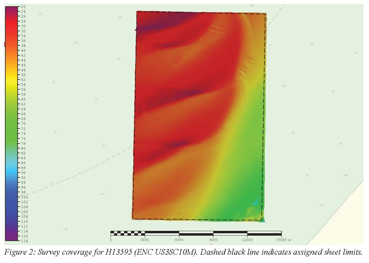
H13595: NOS Hydrographic Survey , 2022-08-13
National Oceanic and Atmospheric Administration, Department of Commerce —
The National Oceanic and Atmospheric Administration (NOAA) has the statutory mandate to collect hydrographic data in support of nautical chart compilation for safe... -
Federal
TIGER/Line Shapefile, 2021, County, Randolph County, NC, All Roads
U.S. Census Bureau, Department of Commerce —
The TIGER/Line shapefiles and related database files (.dbf) are an extract of selected geographic and cartographic information from the U.S. Census Bureau's Master... -
Federal
H13597: NOS Hydrographic Survey , 2022-10-10
National Oceanic and Atmospheric Administration, Department of Commerce —
The National Oceanic and Atmospheric Administration (NOAA) has the statutory mandate to collect hydrographic data in support of nautical chart compilation for safe... -
Federal
30-m Topographic Shape Index (McNabb-Bolstad)
Department of the Interior —
The lidar Topographic Shape Index (TSI) is the TSI data product produced and distributed by the National Park Service, Great Smoky Mountains National Park. Concave,... -
Federal
30-m Profile Curvature
Department of the Interior —
The lidar Profile Curvature is the Profile Curvature data product produced and distributed by the National Park Service, Great Smoky Mountains National Park. The... -
Federal
TIGER/Line Shapefile, 2021, County, Transylvania County, NC, All Roads
U.S. Census Bureau, Department of Commerce —
The TIGER/Line shapefiles and related database files (.dbf) are an extract of selected geographic and cartographic information from the U.S. Census Bureau's Master... -
Federal
JPEG images of chirp seismic data from inner shelf U.S. Geological Survey research cruise 2002-012-FA collected by the U.S. Geological Survey
Department of the Interior —
The northeastern North Carolina coastal system, from False Cape, Virginia, to Cape Lookout, North Carolina, has been studied by a cooperative research program that... -
Federal
Chirp navigation tracklines from USGS cruise 2002-015-FA from Pamlico Sound, North Carolina (bbc2002015_tracklines.shp)
Department of the Interior —
The northeastern North Carolina coastal system, from False Cape, Virginia, to Cape Lookout, North Carolina, has been studied by a cooperative research program that...

Official websites use .gov
A
.gov website belongs to an official government
organization in the United States.
Secure .gov websites use HTTPS
A
lock (
) or https:// means you’ve safely connected to
the .gov website. Share sensitive information only on official,
secure websites.