
-
Federal
National Solar Radiation Database (NSRDB) Station Data Output for 1991 to 2010
National Oceanic and Atmospheric Administration, Department of Commerce —
The National Solar Radiation Database (NSRDB) was produced by the National Renewable Energy Laboratory under the U.S. Department of Energy's Office of Energy... -
Federal
AERONET Level 2.0 AOD
National Aeronautics and Space Administration —
The aerosol optical depth processing includes the spectral de-convolution algorithm (SDA) described in O'Neill et al. (2003). This algorithm yields fine (sub-micron)... -
Federal
TRMM TMI/PR Combined Precipitation L3 1 month 0.5 degree x 0.5 degree V7 (TRMM_3B31) at GES DISC
National Aeronautics and Space Administration —
This is a combined rainfall product. 3B31 uses the high quality retrievals done for the narrow swath in 2B31 to calibrate the wide swath retrievals generated in 2A12.... -
Federal
AMSR-E/Aqua L2B Global Swath Surface Precipitation GSFC Profiling Algorithm V003
National Aeronautics and Space Administration —
The AMSR-E/Aqua Level-2B precipitation product includes instantaneous surface precipitation rate and type over ice-free/snow-free land and ocean between 89.24 degrees... -
Federal
SatCORPS CERES GEO Edition 4 Meteosat-10 Northern Hemisphere Version 1.0
National Aeronautics and Space Administration —
CER_GEO_Ed4_MET10_NH_V01 is the Satellite Cloud and Radiation Property retrieval System (SatCORPS) Clouds and the Earth's Radiant Energy System (CERES) Geostationary... -
Federal
OMI/Aura and MODIS/Aqua Merged Cloud Product 1-Orbit L2 Swath 13x24 km V003 (OMMYDCLD) at GES DISC NGDA
National Aeronautics and Space Administration —
The OMI/Aura and MODIS/Aqua Merged Cloud Product 1-Orbit L2 Swath 13x24 km (OMMYDCLD) is a Level-2 orbital product that combines cloud parameters retrieved by the... -
Federal
GPM GROUND VALIDATION DUAL-FREQUENCY DUAL-POLARIZED DOPPLER RADAR (D3R) GCPEX V1
National Aeronautics and Space Administration —
The GPM Ground Validation Dual-frequency Dual-polarized Doppler Radar (D3R) GCPEx and IFloodS data sets contain radar reflectivity and doppler velocity measurements.... -
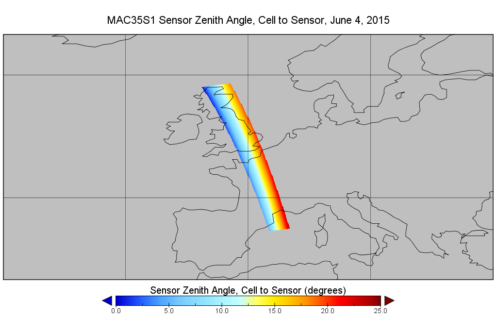
Federal
MODIS/Aqua Cld Mask Spect. Test Results 5-Min L2 Swath Subset along MLS V002 (MAM35S0) at GES DISC NGDA
National Aeronautics and Space Administration —
This is the MODIS/Aqua subset along MLS field of view track. The goal of the subset is to select and return MODIS data that are within +-100 km across the MLS track.... -
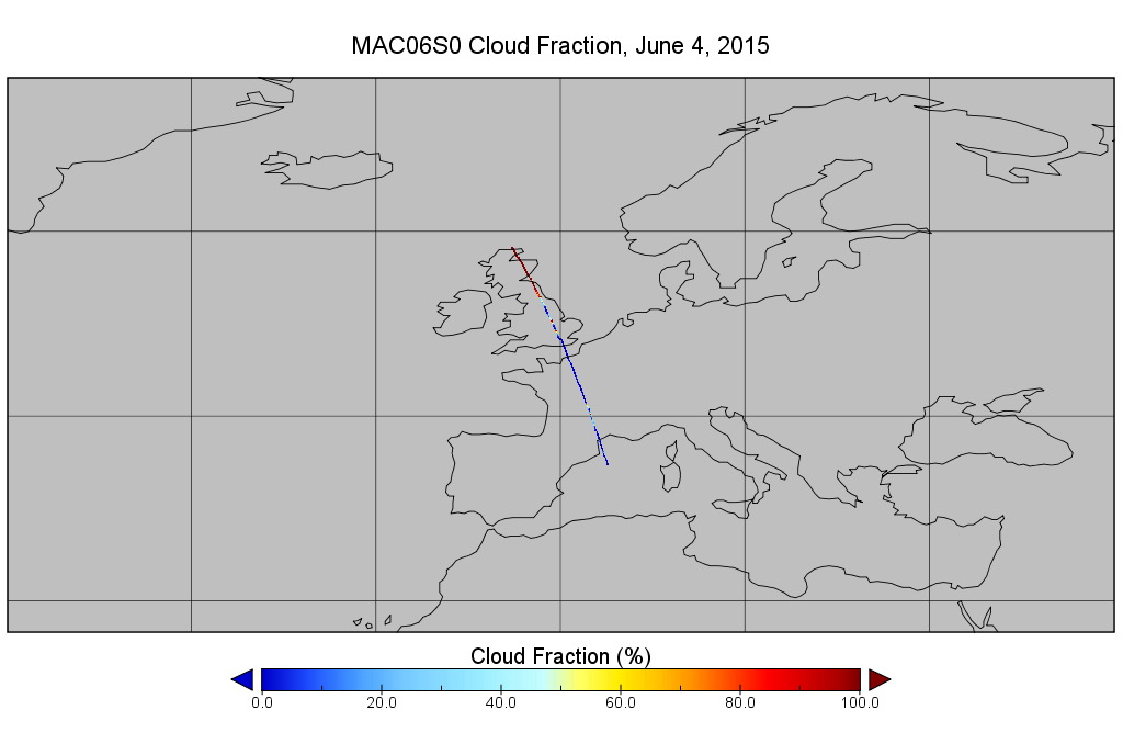
Federal
MODIS/Aqua Clouds 1km and 5km 5-Min L2 Narrow Swath Subset along CloudSat V002 (MAC06S0) at GES DISC NGDA
National Aeronautics and Space Administration —
This is the narrow-swath MODIS/Aqua subset along CloudSat field of view track. The goal of the narrow-swath subset is to select and return MODIS data that are within... -
Federal
ATLAS/ICESat-2 L3B Monthly Gridded Atmosphere V005
National Aeronautics and Space Administration —
This data set contains a gridded summary of monthly global cloud fraction, total column optical depth over the oceans, polar cloud fraction, blowing snow frequency,... -
Federal
TOVS LMD DAILY GRIDS from NOAA-12 V01 (TOVSBDND) at GES DISC
National Aeronautics and Space Administration —
Level 3 parameters from HIRS/2 and MSU radiances using the Improved Initialization Inversion (3I) classification retrieval scheme by the Laboratoire de Meteorologie... -
Federal
CERES Clouds and Radiative Swath Aqua FM3 MODIS Edition2C
National Aeronautics and Space Administration —
CER_CRS_Aqua-FM3-MODIS_Edition2c is the Clouds and the Earth's Radiant Energy System (CERES) Clouds and Radiative Swath (CRS) Aqua-Flight Model 3 (FM3) Moderate-... -
Federal
Level 1.5 Almucantar Inversion Products (except phase functions)
National Aeronautics and Space Administration —
AERONET inversion code provides aerosoloptical properties in the total atmospheric column derived from the direct and diffuse radiation measured byAERONETCimel... -
Federal
Sounder SIPS: AQUA AIRS IR + MW Level 3 CLIMCAPS : Comprehensive Quality Control Gridded Daily V2 at GES DISC
National Aeronautics and Space Administration —
WARNING: To users of the derived product “co_mmr_midtrop” (carbon monoxide mass mixing ratio to dry air [kg/kg] at ~500 hPa). This variable has a significant bias due... -
Federal
SatCORPS CERES GEO Edition 4 GOES-13 Northern Hemisphere Version 1.0
National Aeronautics and Space Administration —
CER_GEO_Ed4_GOE13_NH_V01 is the Satellite Cloud and Radiation Property retrieval System (SatCORPS) Clouds and the Earth's Radiant Energy System (CERES) Geostationary... -
Federal
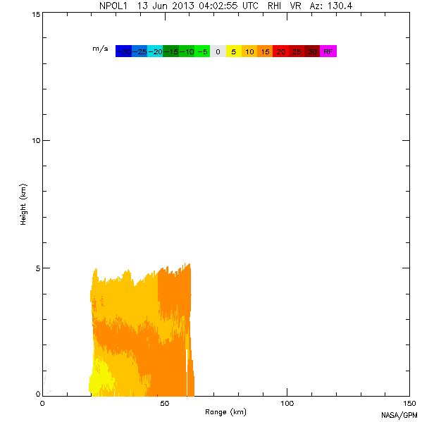
GPM GROUND VALIDATION NASA S-BAND DUAL POLARIMETRIC (NPOL) DOPPLER RADAR IFLOODS V2
National Aeronautics and Space Administration —
The GPM Ground Validation NASA S-Band Dual Polarimetric (NPOL) Doppler Radar IFloodS dataset was collected from April 30 to June 16, 2013 near Traer, Iowa as part of... -
Federal
GLAS/ICESat L2 Global Cloud Heights for Multi-layer Clouds (HDF5) V033
National Aeronautics and Space Administration —
GLAH09 Level-2 cloud heights for multi-layer clouds contain cloud layer top and bottom height data at sampling rates of 4 sec, 1 sec, 5 Hz, and 40 Hz. Each data... -
Federal
High Altitude Imaging Wind and Rain Airborne Profiler (HIWRAP) IMPACTS V1
National Aeronautics and Space Administration —
The High Altitude Imaging Wind and Rain Airborne Profiler (HIWRAP) IMPACTS dataset consists of Equivalent reflectivity factor, Doppler velocity, Doppler velocity... -
Federal
Level 1.5 Almucantar Inversion Products Phase Functions
National Aeronautics and Space Administration —
AERONET inversion code provides aerosoloptical properties in the total atmospheric column derived from the direct and diffuse radiation measured byAERONETCimel... -
Federal
ATTREX-Aircraft_insitu_Cloud_property_Measurements
National Aeronautics and Space Administration —
ATTREX-Aircraft_insitu_Cloud_property_Measurements are in-situ cloud measurements collected onboard the Global Hawk Unihabited Aerial System (UAS) during the Airborne...

Official websites use .gov
A
.gov website belongs to an official government
organization in the United States.
Secure .gov websites use HTTPS
A
lock (
) or https:// means you’ve safely connected to
the .gov website. Share sensitive information only on official,
secure websites.