-
Federal
NASA-SSH Global Mean Sea Level from Simple Gridded Sea Surface Height
National Aeronautics and Space Administration —
This file contains a time series of globally-averaged sea level change, or "global mean sea level" (GMSL) in units of centimeters. The estimate is based on satellite... -
Federal
ECCO Ancillary Data (Version 4 Release 4)
National Aeronautics and Space Administration —
This dataset provides ancillary data for the ECCO Version 4 Release 4 (V4r4) ocean and sea-ice state estimate, and is intended for expert users to reproduce the state... -
Federal
Daily NeurOST L4 Sea Surface Height and Surface Geostrophic Currents
National Aeronautics and Space Administration —
This Daily NeurOST Level 4 Sea Surface Height and Surface Geostrophic Currents analysis product from the University of Washington and JPL was mapped by a neural... -
Federal
ECCO Ocean Three-Dimensional Volume Fluxes - Monthly Mean llc90 Grid (Version 4 Release 4)
National Aeronautics and Space Administration —
This dataset provides monthly-averaged ocean three-dimensional volume fluxes on the native Lat-Lon-Cap 90 (LLC90) model grid from the ECCO Version 4 Release 4 (V4r4)... -
Federal
SWOT Sword of Science River Discharge Products Version 1
National Aeronautics and Space Administration —
The SWOT Sword of Science River Discharge Products dataset from the Surface Water and Ocean Topography (SWOT) mission and produced by the Discharge Algorithm Working... -
Federal
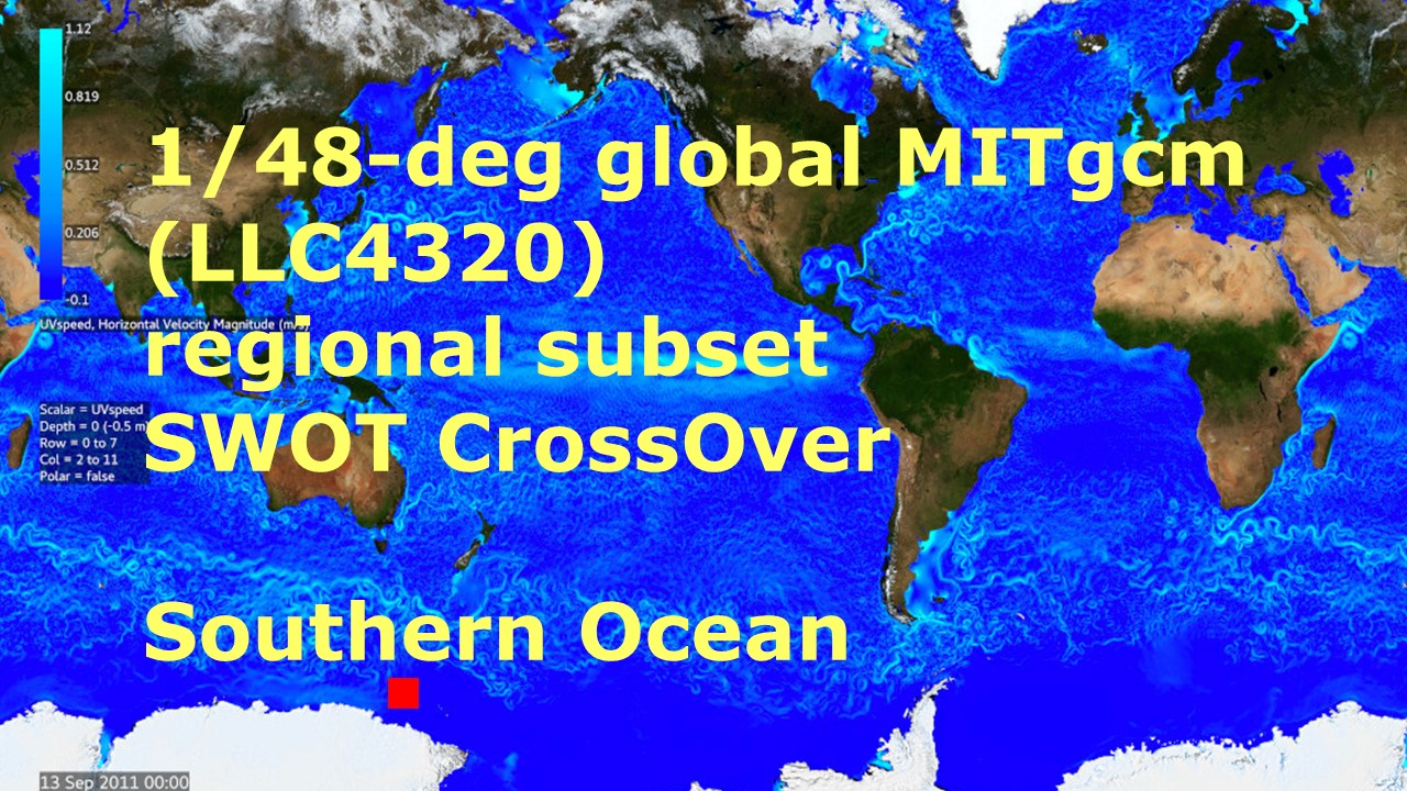
Southern Ocean Pre-SWOT Level-4 Hourly MITgcm LLC4320 Native Grid 2km Oceanographic Dataset Version 1.0
National Aeronautics and Space Administration —
This dataset provides a regional multivariate oceanographic state estimate from a global ocean numerical simulation with a focus on the Southern Ocean region. The... -
Federal
OMG Narwhals Shipboard Conductivity, Temperature, and Depth (CTD) profiles, 2018-2020
National Aeronautics and Space Administration —
This OMG Narwhals dataset contains measurements from the ship based full water column CTD profiles that were obtained during summer mooring deployment/recovery... -
Federal
GHRSST Level 2P Global Sea Surface Skin Temperature from the Moderate Resolution Imaging Spectroradiometer (MODIS) on the NASA Terra satellite (GDS2)
National Aeronautics and Space Administration —
NASA produces skin sea surface temperature (SST) products from the Infrared (IR) channels of the Moderate-resolution Imaging Spectroradiometer (MODIS) onboard the... -
Federal
SWOT Simulated Level-2 Nadir SSH from MITgcm ECCO LLC4320 for Cal/Val Version 1
National Aeronautics and Space Administration —
This dataset provides simulated sea surface height (SSH) in a format similar to the future SWOT Level 2 (L2) altimetry data stream from the Poseidon 3C nadir... -
Federal
ECCO Sea Surface Height - Daily Mean llc90 Grid (Version 4 Release 4b)
National Aeronautics and Space Administration —
This dataset provides daily-averaged dynamic sea surface height and model sea level anomaly on the native Lat-Lon-Cap 90 (LLC90) model grid from the ECCO Version 4... -
Federal
ECCO Ocean Mixed Layer Depth - Daily Mean 0.5 Degree (Version 4 Release 4)
National Aeronautics and Space Administration —
This dataset contains daily-averaged ocean mixed layer depth interpolated to a regular 0.5-degree grid from the ECCO Version 4 revision 4 (V4r4) ocean and sea-ice... -
Federal
Harmonic Constants for Baroclinic Tide Prediction
National Aeronautics and Space Administration —
This dataset of Harmonic Constants for Baroclinic Tide Prediction was produced by Edward Zaron (Oregon State University) and Shane Elipot (University of Miami). It... -
Federal
Boknis Pre-SWOT Level-4 Hourly MITgcm LLC4320 Native Grid 2km Oceanographic Dataset Version 1.0
National Aeronautics and Space Administration —
This dataset provides a regional multivariate oceanographic state estimate from a global ocean numerical simulation with a focus on the Baltic Sea region. The global... -
Federal
RapidScat Level 2B Climate Ocean Wind Vectors in 12.5km Footprints Version 2.0
National Aeronautics and Space Administration —
This dataset contains the RapidScat Level 2B 12.5km Version 2.0 Climate quality ocean surface wind vectors. The Level 2B wind vectors are binned on a 12.5 km Wind... -
Federal
S-MODE Shipboard uCTD and EcoCTD Measurements Version 1
National Aeronautics and Space Administration —
This dataset contains shipboard Underway conductivity, temperature, and depth (UCDT) measurements taken during the Sub-Mesoscale Ocean Dynamics Experiment (S-MODE)... -
Federal
Sentinel-6A MF Jason-CS L2 P4 Altimeter Low Resolution (LR) NTC Ocean Surface Topography F08
National Aeronautics and Space Administration —
Provides low resolution (LR) non-time critical (NTC; 60-day latency) measurements of sea surface height anomaly (SSHA), Significant Wave Height (SWH), and Wind Speed,... -
Federal
S-MODE Lagrangian Float Observations Version 1
National Aeronautics and Space Administration —
This dataset contains in-situ measurements of temperature, salinity, and velocity from the Sub-Mesoscale Ocean Dynamics Experiment (S-MODE) conducted approximately... -
Federal
ECCO Sea-Ice and Snow Concentration and Thickness - Daily Mean llc90 Grid (Version 4 Release 4)
National Aeronautics and Space Administration —
This dataset provides daily-averaged sea-ice and snow concentration, thickness, and pressure loading on the native Lat-Lon-Cap 90 (LLC90) model grid from the ECCO... -
Federal
TOPEX/POSEIDON Geophysical Data Record Version F
National Aeronautics and Space Administration —
The TOPEX/POSEIDON Geophysical Data Record (GDR) contains global coverage altimeter data. The objective of the TOPEX/POSEIDON mission, launched in August 1992, is to... -
Federal
S-MODE MASS Level 1 Lidar Point Cloud Version 1
National Aeronautics and Space Administration —
This dataset contains geolocated airborne LiDAR point cloud measurements from the Sub-Mesoscale Ocean Dynamics Experiment (S-MODE) conducted approximately 300 km...

Official websites use .gov
A
.gov website belongs to an official government
organization in the United States.
Secure .gov websites use HTTPS
A
lock (
) or https:// means you’ve safely connected to
the .gov website. Share sensitive information only on official,
secure websites.