
-
Federal
UARS Halogen Occultation Experiment (HALOE) Level 2 V019 (UARHA2FN) at GES DISC
National Aeronautics and Space Administration —
The Halogen Occultation Experiment (HALOE) Level 2 data product consists of daily vertical profiles of temperature, aerosol extinciton and pressure, as well as... -
Federal
2024 KEFJ Pedersen Lagoon Landslide SfM Imagery and GNSS
Department of the Interior —
Orthomosaics and Digital Surface Models of Pedersen Lagoon, the toe of Pedersen Glacier, and surrounding areas in Kenai Fjords National Park. These data were... -
Federal
Cross-Island Topographic Profiles of Assateague Island National Seashore, 1995-2018
Department of the Interior —
Cross-island profile monitoring began in 1995. Elevations are collected every 10m and at all significant elevation changes along transects that run at a 291/111... -
Federal
Fire Island National Seashore bathymetry survey, 2024
Department of the Interior —
Multibeam sonar data collected with an EchoBoat 160 (Seafloor Systems, Inc.) autonomous surface vessel (ASV) equipped with an iWBMSe multibeam sonar (NORBIT). Data... -
Federal
Sagebrush Steppe Ecological Resilience and Invasion Resistance Geodatabase for Big Hole National Battlefield
Department of the Interior —
Geospatial database of soils, vegetation, and related information that supports mapping and assessment of potential ecological resilience to fire and resistance to... -
Federal
<b>Soil, crop, and weed communities as affected by soil erosion and topsoil replacement in a Mollisol landform (a six-year soil-landscape rehabilitation study)</b>
Department of Agriculture —
These data provide field measurements at two geographical sites of plant and soil as affected by (a) tillage and water erosion and (b) replacement of translocated... -
Federal
Data from: Spatial and temporal features of snow water equivalent across a headwater catchment in the Sierra Nevada
Department of Agriculture —
Accompanying dataset for: “Spatial and Temporal Features of Snow Water Equivalent Across a Headwater Catchment in the Sierra Nevada”Abstract:Here, we present the... -
Federal
UARS Wind Imaging Interferometer (WINDII) Level 3AL V011 (UARWI3AL) at GES DISC
National Aeronautics and Space Administration —
The Wind Imaging Interferometer (WINDII) Level 3AL data product consists of daily, 4 degree increment latitude-ordered vertical profiles of meridional and zonal wind... -
Federal
Flight 93 National Memorial Vegetation and Land Cover Geospatial Information
Department of the Interior —
In collaboration with the National Park Service, the Western Pennsylvania Conservancy (WPC) completed the Natural Resource Condition Assessment (NRCA) for Flight 93... -
Federal
AIR TEMPERATURE, Surface pressure, and others collected from FIXED STATIONS OF CANADA in Canada from 1768-09-11 to 1884-02-29 (NCEI Accession 0304217)
National Oceanic and Atmospheric Administration, Department of Commerce —
Historical weather journals from across Canada, spanning 1768 - 1884, have been transcribed from handwritten records into machine readable formats. The NORTHERN... -
Federal
NOAA/WDS Paleoclimatology - Woodhouse et al. 2006 Updated Streamflow Reconstructions for the Upper Colorado River Basin
National Oceanic and Atmospheric Administration, Department of Commerce —
This archived Paleoclimatology Study is available from the NOAA National Centers for Environmental Information (NCEI), under the World Data Service (WDS) for... -
Federal
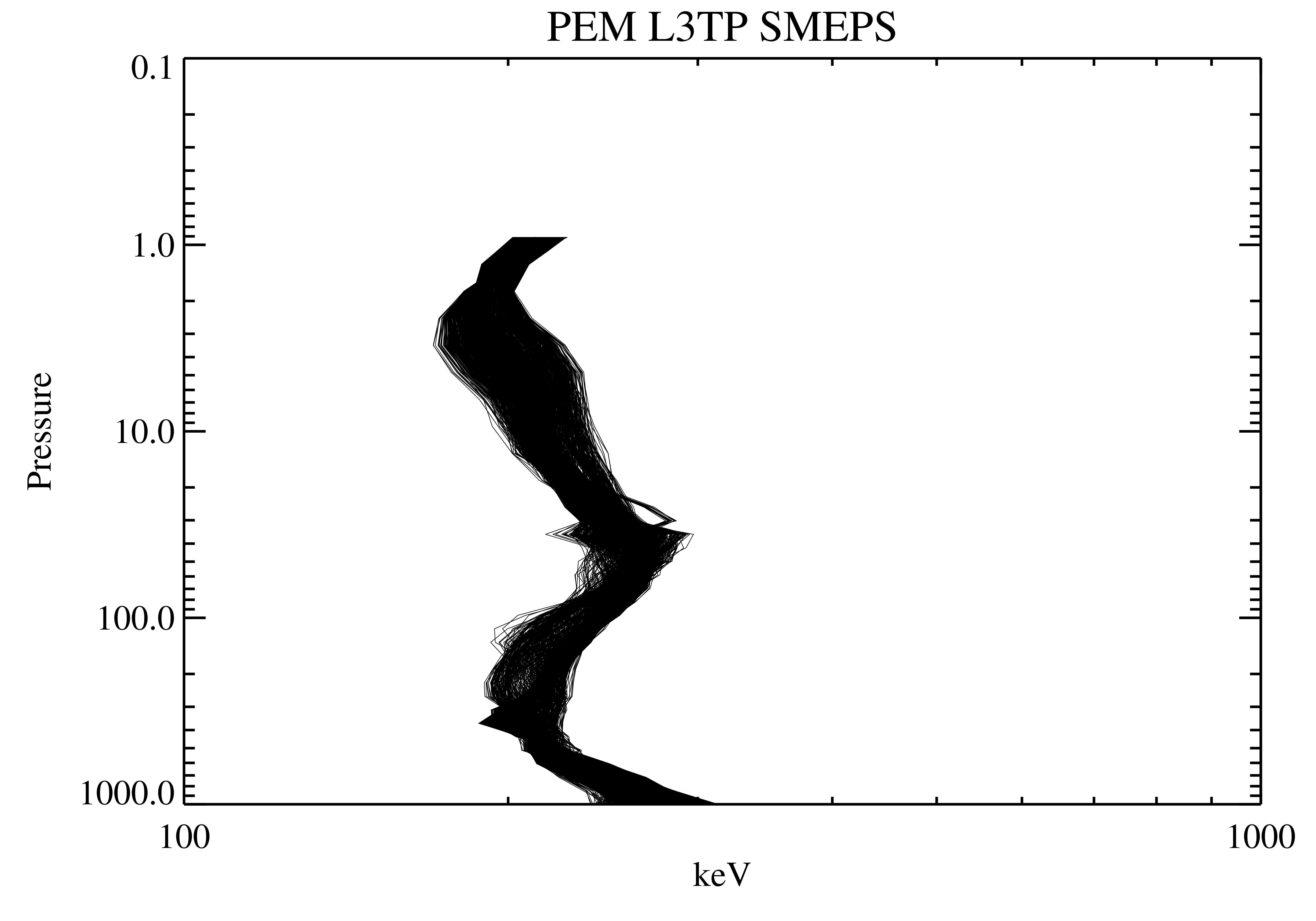
UARS Particle Environment Monitor (PEM) Level 3AT V004 (UARPE3AT) at GES DISC
National Aeronautics and Space Administration —
The Particle Environment Monitor (PEM) Level 3AT data product consists of daily, 65.536 second interval time-ordered, vertical profiles of electron, proton and x-ray... -
Federal
Sagebrush Steppe Ecological Resilience and Invasion Resistance Geodatabase for Lava Beds National Monument
Department of the Interior —
Geospatial database of soils, vegetation, and related information that supports mapping and assessment of potential ecological resilience to fire and resistance to... -
Federal
Sagebrush Steppe Ecological Resilience and Invasion Resistance Geodatabase for the John Day Fossil Beds National Monument
Department of the Interior —
Geospatial database of soils, vegetation, and related information that supports mapping and assessment of potential ecological resilience to fire and resistance to... -
Federal
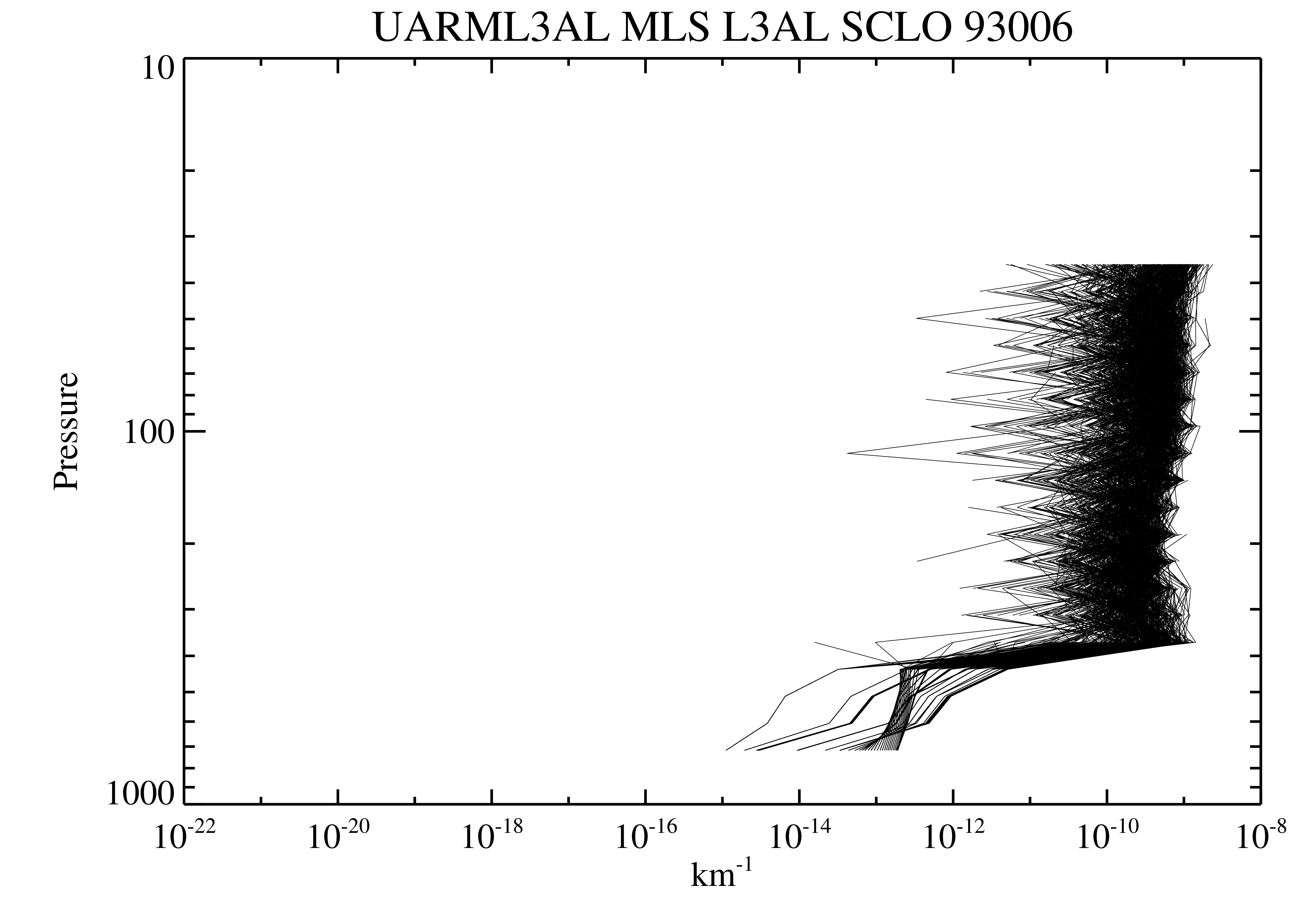
UARS Microwave Limb Sounder (MLS) Level 3AL V005 (UARML3AL) at GES DISC
National Aeronautics and Space Administration —
The Microwave Limb Sounder (MLS) Level 3AL data product consists of daily, 4 degree increment latitude-ordered vertical profiles of temperature, geopotential height,... -
Federal
UARS Correlative NMC Daily Gridded Stratospheric Assimilated Data V001 (UARZCNMC) at GES DISC
National Aeronautics and Space Administration —
The UARS Correlative assimilation data from NOAA's National Meteorological Center (NMC) consists of daily model runs at 12 GMT as a means of providing an independent... -
Federal
Sagebrush Steppe Ecological Resilience and Invasion Resistance Geodatabase for the Lake Roosevelt National Recreation Area
Department of the Interior —
Geospatial database of soils, vegetation, and related information that supports mapping and assessment of potential ecological resilience to fire and resistance to... -
Federal
UARS Cryogenic Limb Array Etalon Spectrometer (CLAES) Level 3AT V009 (UARCL3AT) at GES DISC
National Aeronautics and Space Administration —
The Cryogenic Limb Array Etalon Spectrometer (CLAES) Level 3AT data product consists of daily, 65.536 second interval time-ordered vertical profiles of temperature... -
Federal
UARS Wind Imaging Interferometer (WINDII) Level 3AT V011 (UARWI3AT) at GES DISC
National Aeronautics and Space Administration —
The Wind Imaging Interferometer (WINDII) Level 3AT data product consists of daily, 65.536 second interval time-ordered vertical profiles of meridional and zonal wind... -
Federal
OMI/Aura Multi-wavelength Aerosol Optical Depth and Single Scattering Albedo Daily L2 Global Gridded 0.25 degree x 0.25 degree V3 (OMAEROG) at GES DISC
National Aeronautics and Space Administration —
This Level-2G daily global gridded product OMAEROG is based on the pixel level OMI Level-2 Aerosol product OMAERO, based on the multi-wavelength algorithm that uses...

Official websites use .gov
A
.gov website belongs to an official government
organization in the United States.
Secure .gov websites use HTTPS
A
lock (
) or https:// means you’ve safely connected to
the .gov website. Share sensitive information only on official,
secure websites.