
-
Federal
MOPITT CO gridded daily means (Thermal Infrared Radiances) V009
National Aeronautics and Space Administration —
MOP03T_9 is the Measurements Of Pollution In The Troposphere (MOPITT) Carbon Monoxide (CO) gridded daily means (Thermal Infrared Radiances) version 9 data product. It... -
Federal
Landsat Surface Reflectance - L8 OLI/TIRS
National Aeronautics and Space Administration —
Landsat satellite data have been produced, archived, and distributed by the U.S. Geological Survey (USGS) since 1972. Users rely on these data for historical study of... -
Federal
DE 2 Vector Electric Field Instrument (VEFI) AC Electric Field Spectrometers, A, B, and C, all frequency channels, Spacecraft, SC, coordinates, PT0.5S Data
National Aeronautics and Space Administration —
The Dynamics Explorer 2, DE 2, Vector Electric Field Instrument, VEFI, used flight-proven double-probe techniques with 20-m baselines to obtain measurements of DC... -
Federal
BOREAS TF-04 CO2 and CH4 Soil Profile Data from the SSA
National Aeronautics and Space Administration —
The BOREAS TF-04 team measured distributions of carbon dioxide (CO2) and methane (CH4) concentrations for the upper 5 meters of soil and unsaturated zone at the... -
Federal
LBA-ECO LC-07 Water Quality, CO2, Chlorophyll, Lago Curuai, Para, Brazil: 2003-2004
National Aeronautics and Space Administration —
This data set reports (1) concentrations of total, organic, and inorganic suspended solids; dissolved inorganic, and organic carbon; chlorophyll-a and (2)... -
Federal
MERRA-2 tavg1_2d_flx_Nx: 2d,1-Hourly,Time-Averaged,Single-Level,Assimilation,Surface Flux Diagnostics 0.625 x 0.5 degree V5.12.4 (M2T1NXFLX) at GES DISC
National Aeronautics and Space Administration —
M2T1NXFLX (or tavg1_2d_flx_Nx) is an hourly time-averaged 2-dimensional data collection in Modern-Era Retrospective analysis for Research and Applications version 2... -
Federal
OCO-3 Instrument Attitude and Ephemeris Data for One Specific Solar Day, Retrospective Processing V11r (OCO3_L1aAE) at GES DISC
National Aeronautics and Space Administration —
Version 11r is the current version of the data set. Older versions will no longer be available and are superseded by Version 11r. The Orbiting Carbon Observatory is... -
Federal
PSP FIELDS Digital Fields Board (DFB) AC-coupled Searchcoil Magnetometer, SCM, Cross Spectra, e-component, f-component, High Gain, Sensor coordinates, Level 2 (L2), 0.873813 s Data
National Aeronautics and Space Administration —
PSP FIELDS Digital Fields Board (DFB), XXX ⨯ YYY cross spectra data:\n\nThe DFB is the low frequency, less than 75 kHz, component of the FIELDS experiment on the... -
Federal
ISIS-1 Topside Sounder Average Ionogram over Kerguelen Island, France: KER, Latitude -49, Longitude 70
National Aeronautics and Space Administration —
This Ionogram was digitized from the original ISIS 1 Analog Telemetry Data on 7-Track Tape using the Facilities of the Data Evaluation Laboratory at NASA GSFC, Code... -
Federal
Pre-LBA CABARE Mapped Land Surface and Vegetation Characteristics, Rondonia, Brazil
National Aeronautics and Space Administration —
Surface parameter digital maps of vegetation, soil, and topography were obtained for Rondonia, Brazil, covering the 5x5 degree region bounded by 13-8 degrees S and... -
Federal
LBA-ECO LC-07 Methane and Carbon Dioxide Emissions from Balbina Reservoir, Brazil
National Aeronautics and Space Administration —
This data set provides flux measurements of methane (CH4) and carbon dioxide (CO2) from surface waters to the atmosphere. It also provides CH4, CO2, and oxygen (O2)... -
Federal
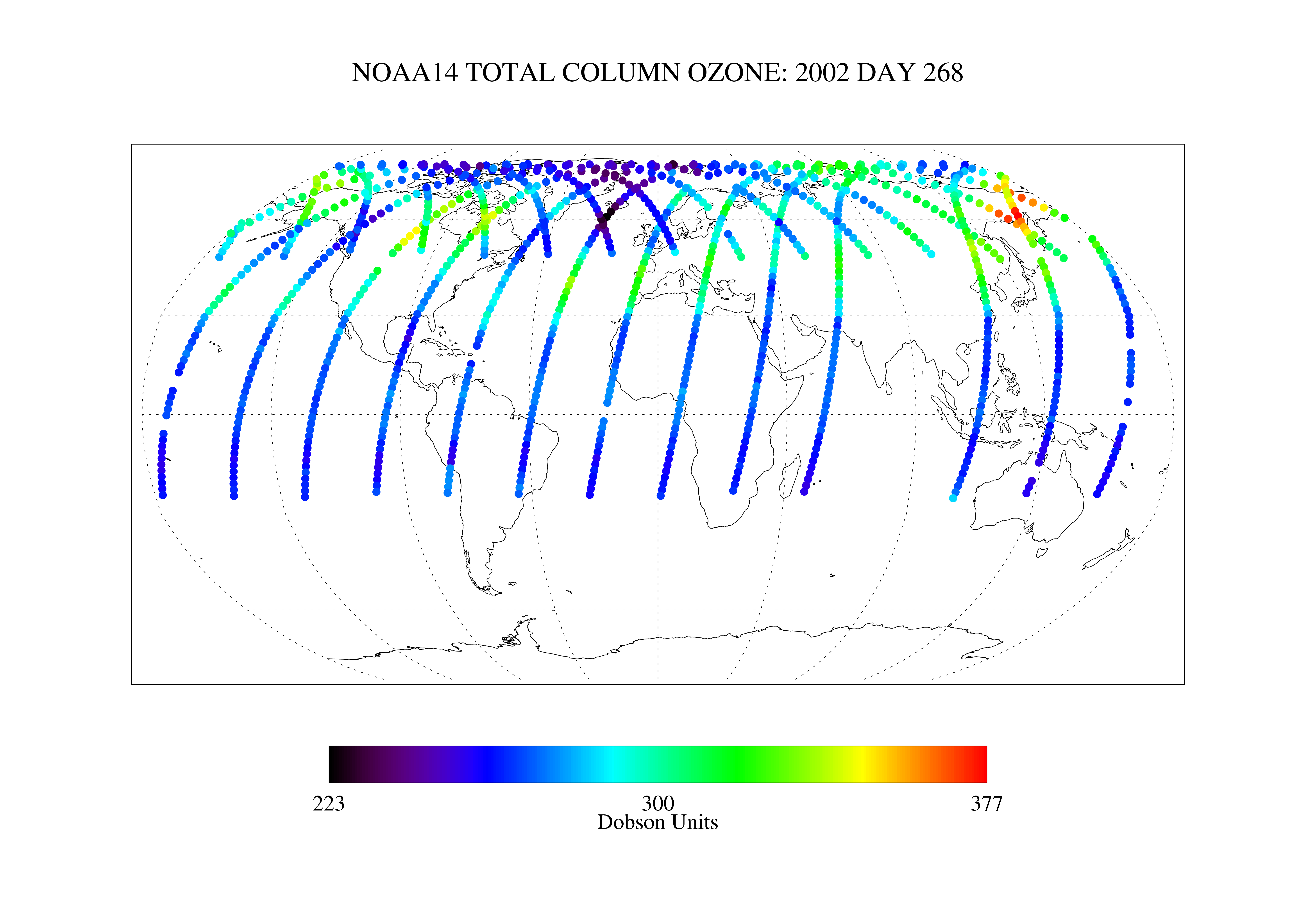
SBUV2/NOAA-14 Ozone (O3) Nadir Profile and Total Column 1 Day L2 V1 (SBUV2N14L2) at GES DISC
National Aeronautics and Space Administration —
The Solar Backscattered Ultraviolet (SBUV) from NOAA-14 Level-2 daily product (SBUV2N14L2) contains ozone nadir profile and total column data from retrievals... -
Federal
NOAA-20 VIIRS Level-3 Global Mapped 11µm Nighttime Sea Surface Temperature (NSST) Data, version R2024.0
National Aeronautics and Space Administration —
The Visible and Infrared Imager/Radiometer Suite (VIIRS) is a multi-disciplinary instrument that is being flown on the Joint Polar Satellite System (JPSS) series of... -
Federal
Probabilistic Freeze-Thaw Record for the Northern Hemisphere, 2016-2020
National Aeronautics and Space Administration —
This dataset provides a probabilistic freeze/thaw (FT) data record from 2016 to 2020 for the Northern Hemisphere derived using a deep learning model (U-Net). The... -
Federal
U.S. EPA National Priorities List (NPL) Sites Point Data with CIESIN Modifications, Version 2
National Aeronautics and Space Administration —
The U.S. Environmental Protection Agency (EPA) National Priorities List (NPL) Sites Point Data with CIESIN Modifications, Version 2 is a modified version of the 2014... -
Federal
BARREL 3D X-ray Spectrometer (FSPC) Bremsstrahlung X-ray Spectrum Fast Time Resolution, Level 2, 0.05 s Data
National Aeronautics and Space Administration —
FSPC: Six channels of fast time resolution, 50 ms, Bremsstrahlung X-ray spectra detected with a NaI Scintillator. Each channel is separated in its own variable:... -
Federal
STEREO-A PLasma and Supra-Thermal Ion Composition (PLASTIC) He+ Pickup Ion (PUI) Solar Wind Frame Velocity Count Distributions and Proton Plasma Densities and Velocities, Level 3 (L3), 5 min Data
National Aeronautics and Space Administration —
This data set presents STEREO-A PLASTIC PickUp Ion, PUI, He⁺ velocity distributions defined at a 5 min time resolution in the solar wind, SW, frame of reference. The... -
Federal
GPM SAPHIR on MT1 (PRPS) Climate-based Radiometer Precipitation Profiling L3 1 day 0.25 x 0.25 degree V06 (GPM_3PRPSMT1SAPHIR_DAY_CLIM) at GES DISC
National Aeronautics and Space Administration —
The "CLIM" products differ from their "regular" counterparts (without the "CLIM" in the name) by the ancillary data they use. They are Climate-Reference products,... -
Federal
Polar Stereographic Valid Ice Masks Derived from National Ice Center Monthly Sea Ice Climatologies, Version 1
National Aeronautics and Space Administration —
These valid ice masks provide a way to remove spurious ice caused by residual weather effects and land spillover in passive microwave data. They are derived from the... -
Federal
RASS X-Ray Variable Sources Catalog
National Aeronautics and Space Administration —
The RASS X-Ray Variable Sources Catalog contains the results of a systematic search for variability among the ROSAT All-Sky Survey (RASS) X-ray sources. Lightcurves...

Official websites use .gov
A
.gov website belongs to an official government
organization in the United States.
Secure .gov websites use HTTPS
A
lock (
) or https:// means you’ve safely connected to
the .gov website. Share sensitive information only on official,
secure websites.