
-
Federal
GPM GROUND VALIDATION CLOUD SPECTROMETER AND IMPACTOR (CIP) LPVEX V1
National Aeronautics and Space Administration —
The GPM Ground Validation Cloud Spectrometer and Impactor (CIP) LPVEx dataset provides particle size spectra for the Global Precipitation Measurement (GPM) Misson... -
Federal
TROPESS CrIS-SNPP L2 for Los Angeles Megacity, Summary Product V1 (TRPSYL2ALLCRSMGLOS) at GES DISC
National Aeronautics and Space Administration —
The TROPESS CrIS-SNPP L2 for Los Angeles Megacity, Summary Product contains the vertical distribution of six retrieved atmospheric gases (CH4, CO, HDO, NH3, O3 and... -
Federal
NPP Tropical Forest: Consistent Worldwide Site Estimates, 1967-1999, R1
National Aeronautics and Space Administration —
This data set contains documented field measurements of NPP components for 39 old-growth tropical forests distributed worldwide between latitudes 23.58 N and 23.58 S.... -
Federal
VIIRS/NPP Land Surface Phenology Yearly L3 Global 0.05Deg CMG V002
National Aeronautics and Space Administration —
The NASA/NOAA Suomi National Polar-orbiting Partnership (Suomi NPP) Visible Infrared Imaging Radiometer Suite (VIIRS) Land Surface Phenology data product provides... -
Federal
LAT 4-day Quicklook Plots
National Aeronautics and Space Administration —
LAT solar gamma-ray flux > 100 MeV, one point per solar exposure (i.e. average of the 20-40 minutes of solar observation every ~1.5 hours) calculated by two... -
Federal
Sentinel-3B OLCI Level-3M Global Mapped Earth-observation Reduced Resolution (ERR) Chlorophyll (CHL) - Near Real-time (NRT) Data, version R2022.0
National Aeronautics and Space Administration —
The Ocean Biology DAAC produces near real-time (quicklook) products using the best-available combination of ancillary data from meteorological and ozone data. As... -
Federal
BOREAS TE-01 SSA Soil Lab Data
National Aeronautics and Space Administration —
This data set was collected by TE-01 to provide a set of soil properties for BOREAS investigators in the SSA. The soil samples were collected at sets of soil pits.... -
Federal
SDO/AIA 1600 Angstrom FITS Data
National Aeronautics and Space Administration —
The SDO/AIA 1600 Å Level 1 FITS Data. The 1600 Å channel observes the C iv line and continuum from the transition region and the upper photosphere, respectively.... -
Federal
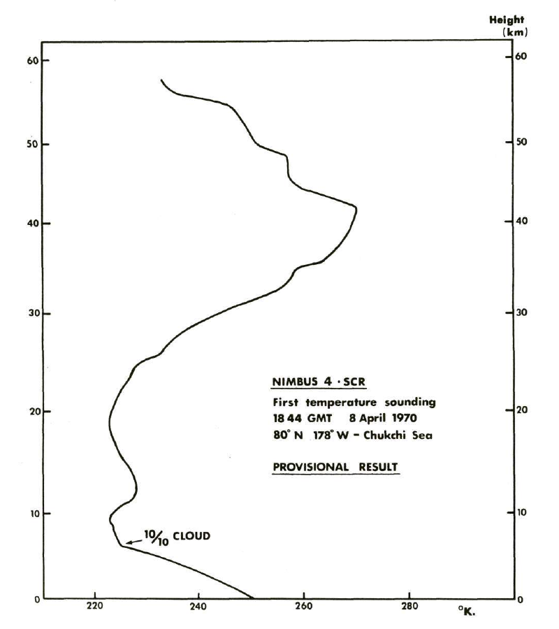
SCR/Nimbus-4 Level 1 Radiance Data from CD-ROM V001 (SCRN4L1RAD_CDROM) at GES DISC
National Aeronautics and Space Administration —
SCRN4L1RAD_CDROM is the gridded Nimbus-4 Selective Chopper Radiometer (SCR) Level 1 Radiance Data Product. The radiances are measured by 16 channels at 2.3 to 15... -
Federal
A study of gene expression influenced by simulated microgravity in human lymphoblastoid cells
National Aeronautics and Space Administration —
Here in this study we systematically examined the patterns of DNA methylation and hydroxy-methylation with its functional implications in gene regulation for the... -
Federal
SMAP_L1A_RADAR_RECEIVE_ONLY_QA_V002
National Aeronautics and Space Administration —
SMAP Level 1A Radar Receive Only Data Quality Information Version 2 -
Federal
CMS: LiDAR Data for Mangrove Forests in the Zambezi River Delta, Mozambique, 2014
National Aeronautics and Space Administration —
This data set provides high-resolution LiDAR point cloud data collected during surveys over mangrove forests in the Zambezi River Delta in Mozambique in May 2014. The... -
Federal
OCO-3 Level 2 CO2 prior based on CO2 monthly flask record, global meteorology, and age of air, Forward Processing V10 (OCO3_L2_CO2Prior) at GES DISC
National Aeronautics and Space Administration —
Version 10 is the current version of the data set. Older versions will no longer be available and are superseded by Version 10. The Orbiting Carbon Observatory -3... -
Federal
Global Gridded Relative Deprivation Index (GRDI), Version 1
National Aeronautics and Space Administration —
The Global Gridded Relative Deprivation Index (GRDI), Version 1 (GRDIv1) data set characterizes the relative levels of multidimensional deprivation and poverty in... -
Federal
SAGE-SMC MIPS 24 micron Epoch 0, Epoch 1, and Epoch 2 Catalog
National Aeronautics and Space Administration —
The SAGE-SMC pro ject is a Cycle 4 legacy program on the Spitzer Space Telescope, entitled, SAGE-SMC: Surveying the Agents of Galaxy Evolution in the Tidally-... -
Federal
SatCORPS CERES GEO Edition 4 GOES-17 Northern Hemisphere Version 1.4
National Aeronautics and Space Administration —
CER_GEO_Ed4_GOE17_NH_V01.4 is the Satellite Cloud and Radiation Property retrieval System (SatCORPS) Clouds and the Earth's Radiant Energy System (CERES)... -
Federal
Chandra ACIS GSG Point-Like X-Ray Source Catalog
National Aeronautics and Space Administration —
The Chandra archival data are a valuable resource for various studies on different X-ray astronomy topics. In this paper, the authors utilize this wealth of... -
Federal
NMC Upper Air Derived Data (FIFE)
National Aeronautics and Space Administration —
The Upper Air Derivative Data from NMC Data Set was derived from National Meteorological Center global upper air models. These models use a 6 hours intermittent... -
Federal
SDO/HMI line-of-sight Dopplergram, 720-Second Data
National Aeronautics and Space Administration —
Dopplergrams are maps of solar surface velocity. The HMI (Camera 2) instrument takes 72 filtergrams to construct a single dopplergram. Six filtergrams are taken in... -
Federal
NWS Daily Climatology Data: 1990 (SNF)
National Aeronautics and Space Administration —
Weather data were collected by the National Weather Service in International Falls, Minnesota. International Falls is about 80 miles from the SNF, but the weather...

Official websites use .gov
A
.gov website belongs to an official government
organization in the United States.
Secure .gov websites use HTTPS
A
lock (
) or https:// means you’ve safely connected to
the .gov website. Share sensitive information only on official,
secure websites.