
-
Federal
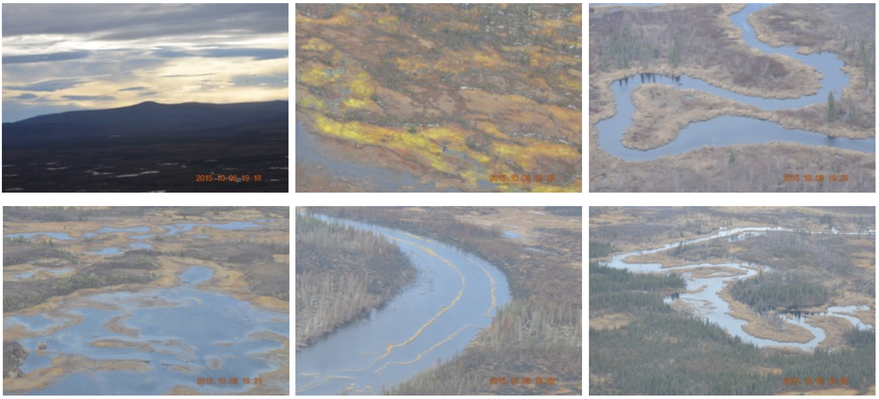
CARVE: In-flight Photos from the CARVE Aircraft, Alaska, 2013-2015
National Aeronautics and Space Administration —
This dataset contains photos taken by scientists aboard the CARVE aircraft during airborne campaigns over the Alaskan and Canadian Arctic for the Carbon in Arctic... -
Federal
TOLNet NASA Goddard Space Flight Center Data
National Aeronautics and Space Administration —
TOLNet_GSFC_Data is the lidar data collected by the Tropospheric Ozone (TROPOZ) lidar at the Goddard Space Flight Center (GSFC) as part of the Tropospheric Ozone... -
Federal
Rock glaciers, Bernese Alps, western Switzerland, Version 1
National Aeronautics and Space Administration —
This inventory has been established from the results of the interpretation of aerial photographs and field work between 1992 and 1994. The area investigated covers... -
Federal
Spitzer Enhanced Imaging Products Traceback Table
National Aeronautics and Space Administration —
The Spitzer Science Center (SSC) and Infrared Science Archive (IRSA) have released a set of Enhanced Imaging Products from the Spitzer Heritage Archive. These include... -
Federal
Global Monthly and Seasonal Urban and Land Backscatter Time Series, 1993-2020
National Aeronautics and Space Administration —
The Global Monthly and Seasonal Urban and Land Backscatter Time Series, 1993-2020, is a multi-sensor, multi-decadal, data set of global microwave backscatter, for... -
Federal
BOREAS RSS-20 POLDER C-130 Measurements of Surface BRDF
National Aeronautics and Space Administration —
This data set contains measurements of surface BRDF made by the POLDER instrument over several surface types (pine, spruce, fen) of the BOREAS SSA during the 1994... -
Federal
KRAX NEXRAD IMPACTS V1
National Aeronautics and Space Administration —
The KRAX NEXRAD IMPACTS dataset consists of Next Generation Weather Radar (NEXRAD) Level II surveillance data that were collected at 31 NEXRAD sites from January 1 to... -
Federal
TROPESS CrIS-JPSS1 L2 Carbon Monoxide for Forward Stream, Summary Product V1 (TRPSYL2COCRS1FS) at GES DISC
National Aeronautics and Space Administration —
The TROPESS CrIS-JPSS1 L2 Carbon Monoxide for Forward Stream, Summary Product contains the vertical distribution of the retrieved atmospheric state of carbon monoxide... -
Federal
SWOT Level 2 Radiometer Brightness Temperatures and Troposphere Operational Data Product Version 1.0
National Aeronautics and Space Administration —
The SWOT Level 2 Radiometer Brightness Temperatures and Troposphere Operational Geophysical Data Record (OGDR) Version 1.0 dataset produced by the Surface Water and... -
Federal
CATS-ISS Level 2 Operational Night Mode 7.2 Version 3-01 5 km Profile
National Aeronautics and Space Administration —
CATS-ISS_L2O_N-M7.2-V3-01_05kmPro is the Cloud-Aerosol Transport System (CATS) International Space Station (ISS) Level 2 Operational Night Mode 7.2 Version 3-01 5 km... -
Federal
CERES A-Train Integrated CALIPSO, CloudSat, CERES, and MODIS (CCCM) Merged Release B1
National Aeronautics and Space Administration —
CER-NEWS_CCCM_Aqua-FM3-MODIS-CAL-CS_RelB1 is the Clouds and the Earth's Radiant Energy System (CERES) NASA Energy and Water cycle Study (NEWS) A-Train Integrated... -
Federal
OrbView-2 SeaWiFS Global Binned Particulate Organic Carbon (POC) Data, version R2022.0
National Aeronautics and Space Administration —
The SeaWiFS instrument was launched by Orbital Sciences Corporation on the OrbView-2 (a.k.a. SeaStar) satellite in August 1997, and collected data from September 1997... -
Federal
BOREAS TE-06 Allometry Data
National Aeronautics and Space Administration —
The BOREAS TE-06 team collected several data sets in support of its efforts to characterize and interpret information on the plant biomass, allometry, biometry,... -
Federal
VIIRS/NPP BRDF/Albedo Parameter 3 Band M11 Daily L3 Global 30 ArcSec CMG V001
National Aeronautics and Space Administration —
The VNP43D27 Version 1 data product was decommissioned on July 31, 2025. Users are encouraged to use theFederalGlobal Mangrove Forests Distribution, 2000
National Aeronautics and Space Administration —
The Global Mangrove Forests Distribution, 2000 data set is a compilation of the extent of mangroves forests from the Global Land Survey and the Landsat archive with...FederalHEAO 1 A2 LED Catalog
National Aeronautics and Space Administration —
The HEAO 1 A-2 LED Catalog of High-Energy X-ray Sources is the result of a study of the diffuse X-ray sky over the bands of X-ray energies 0.18-0.44 keV and 0.44-2.8...FederalPhenoCam Dataset v2.0: Digital Camera Imagery from the PhenoCam Network, 2000-2018
National Aeronautics and Space Administration —
This dataset provides a time series of visible-wavelength digital camera imagery collected through the PhenoCam Network at each of 393 sites predominantly in North...FederalNASADEM Merged DEM Source Global 1 arc second nc V001
National Aeronautics and Space Administration —
The Land Processes Distributed Active Archive Center (LP DAAC) is responsible for the archive and distribution of the NASA Making Earth System Data Records for Use in...FederalCountry-Level Population and Downscaled Projections Based on the SRES A1, B1, and A2 Scenarios, 1990-2100
National Aeronautics and Space Administration —
The Country-Level Population and Downscaled Projections Based on Special Report on Emissions Scenarios (SRES) A1, B1, and A2 Scenarios, 1990-2100, were adopted in...12,246 datasets found

Official websites use .gov
A
.gov website belongs to an official government
organization in the United States.
Secure .gov websites use HTTPS
A
lock (
) or https:// means you’ve safely connected to
the .gov website. Share sensitive information only on official,
secure websites.